GeoConverter
Convert Shapefiles, DXF, DWG, KML, and GeoPackage files to any format
Geospatial data comes in dozens of formats, and getting it into the right format for your tools is a constant headache. Geocadra's built-in GeoConverter handles the heavy lifting—upload files in any common format and convert them to whatever you need. Unlike standalone converter tools, GeoConverter is integrated directly into Geocadra's import workflow, automatically handling coordinate system transformations and preserving your attribute data. Support for CAD formats like DXF and DWG sets Geocadra apart from tools that only handle traditional GIS files.
The Format Compatibility Challenge
Every organisation has their preferred formats. Your client sends Shapefiles, your CAD team works in DXF, your web developers want GeoJSON, and your GIS analysts need GeoPackage. Converting between these formats typically requires desktop GIS software, command-line tools like GDAL/OGR, or paid online services. Each conversion risks data loss, coordinate system errors, or attribute truncation. CAD files are particularly problematic—most GIS tools can't read them at all, forcing manual redrawing of geometries.
How Geocadra Solves This
GeoConverter is built on GDAL, the industry-standard geospatial translation library, ensuring reliable conversions that preserve your data integrity. Upload Shapefiles, GeoJSON, KML, GeoPackage, DXF, or DWG files and convert to any output format. Coordinate reference systems are automatically detected and can be transformed during conversion. Attribute fields carry through with proper data types. For CAD files, GeoConverter extracts all layers and converts them to proper GIS geometries—no manual redrawing required.
Support for Shapefile, GeoJSON, KML, GeoPackage, DXF, and DWG
CAD file support is rare in web-based GIS tools
Automatic coordinate reference system detection and transformation
Attribute data preserved with correct data types
Preview conversion results before committing
Built into Geocadra's import workflow—no separate tool needed

How It Works
Upload Your Source File
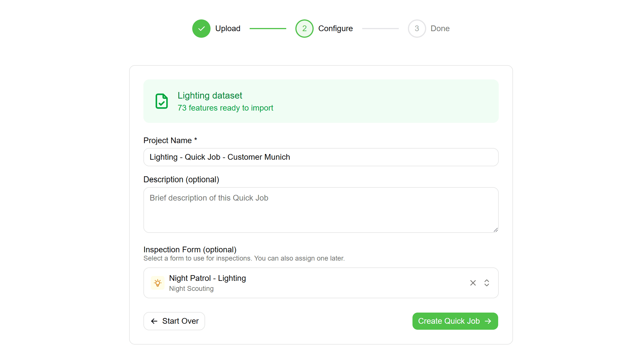
Drag and drop your geospatial file into the converter. Supported formats include Shapefile (ZIP), GeoJSON, KML/KMZ, GeoPackage, DXF, and DWG. Files up to 100MB are supported on standard plans, with higher limits for Enterprise customers.

Review Detection Results
GeoConverter automatically detects the file format, coordinate reference system, layer structure, and available attributes. Review the detection results and adjust if needed—for example, specifying the correct CRS if it wasn't embedded in the file.

Configure Conversion Options
Choose your target format and coordinate system. For CAD files, select which layers to include. For Shapefiles, specify how to handle long field names. Preview shows exactly what the output will look like before you commit.
Convert and Use
Run the conversion and use the result directly in Geocadra, or download the converted file for use in other applications. Conversion typically completes in seconds, even for large files.
Common Use Cases
CAD to GIS Workflows
Engineering teams work in AutoCAD while GIS teams need data in spatial formats. GeoConverter bridges this gap—upload DXF/DWG files and get properly georeferenced GIS data without manual digitisation.
Client Format Requirements
Different clients require different formats. Instead of maintaining multiple software tools for conversion, use GeoConverter to transform your data to match each client's requirements on demand.
Legacy Data Migration
Old systems often export in outdated or proprietary formats. GeoConverter helps you migrate legacy data into modern, open formats that work with current tools and platforms.
Web Mapping Preparation
Web mapping libraries work best with GeoJSON. Convert Shapefiles and other desktop formats to web-ready GeoJSON with proper coordinate system transformation to WGS84.
Frequently Asked Questions
Is data accuracy preserved during conversion?
Yes, GeoConverter uses GDAL's precision settings to maintain coordinate accuracy. You can configure decimal precision for coordinates. Attribute data types are preserved or mapped to the closest equivalent in the target format.
What's the maximum file size?
Standard plans support files up to 100MB. Enterprise plans have higher limits and can handle very large datasets. For extremely large files, contact support to discuss batch processing options.
How are CAD layers handled?
DXF and DWG files often contain multiple layers. GeoConverter extracts all layers and lets you select which ones to convert. Each layer becomes a separate feature set with its geometry type preserved (points, lines, or polygons).
What coordinate systems are supported?
GeoConverter supports all EPSG-defined coordinate reference systems—thousands of projections including UTM zones, national grids, and custom systems. Transformation between any two supported CRS is automatic.
Explore More Features

See everything on the map
Points, lines, polygons—all your client's assets visualized instantly. No more imagining where things are from spreadsheet coordinates.

Built for multi-client work
Switch between clients instantly. Keep projects, forms, and data completely separate. Deliver to each client in their preferred format.

Forms that match your workflow
Drag-and-drop form builder. Text, numbers, dropdowns, photos—create exactly what your inspections need. Use across all projects.