


Field inspection software.Every asset on the map. Every round on record.
Geocadra is map-based field inspection software for contractors and consultants: one workspace for all your clients, structured forms in the field, the full history of every asset, and Excel, PDF reports or CAD drawings your client opens straight away.
GDPR compliant · EU data storage · No credit card required
The Problem
Your field data deserves better than this.
Every team that inspects outdoor assets knows it: disconnected tools, reporting that eats the evening, last year's results nowhere to be found, and prices that assume you're an enterprise.
Drowning in disconnected data
Client spreadsheets live in email threads, photos in WhatsApp, notes on paper and coordinates in yet another app. Every project starts with a hunt for the current version.
One workspace for every team, client and data point.
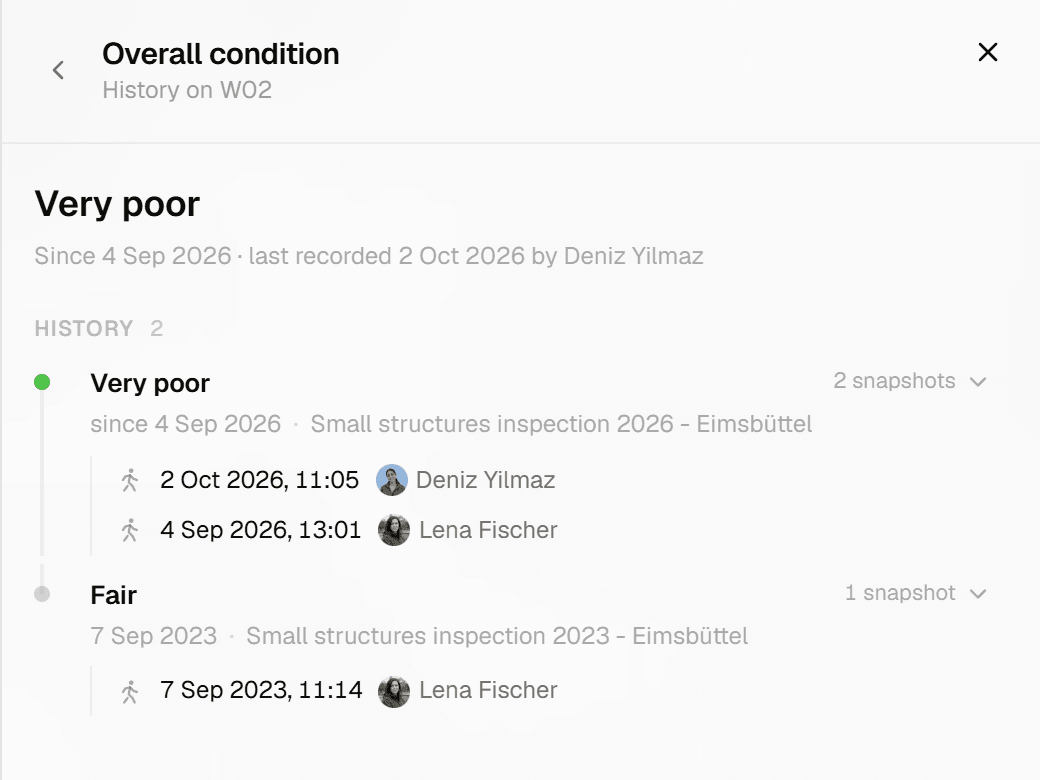
Every round starts from zero
Last year's ratings sit in a PDF or were overwritten by this year's visit, and the inspector who made them has moved on. Nobody can say when a defect first appeared.
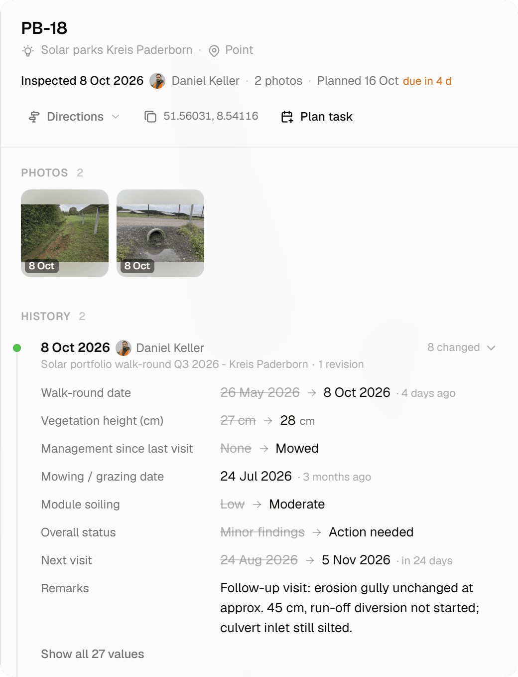
Every inspection stays on the record, with who and when.
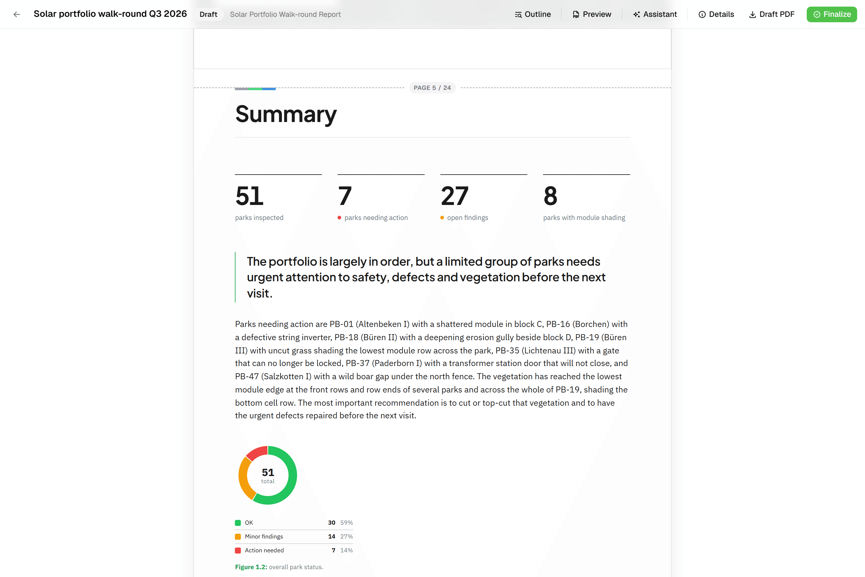
Reporting takes longer than inspecting
An hour in the field becomes three at a desk: formatting exports, matching photos to records and rebuilding the same data in each client's preferred format.
Excel, PDF reports and CAD drawings, straight from the field data.
- Traditional tools
- €1,180
- Geocadra Pro
- €396
4 users and 16 viewers, all paid
4 seats, viewers free
Pro tools with enterprise prices
ArcGIS wants €500 a month and charges per seat even for people who only view. Open source is free but takes a GIS degree. The choice is too expensive or too complex.
Built for field teams, not GIS departments.
The Solution
One platform, from field to deliverable.
Capture on the map, review in the grid, deliver in the format each client needs, and run the next round on the same data.
How It Works
Three steps from data to result.
Bring data in, inspect in the field, hand over the result. Next year, run the round again on the same layer.
- 01
Bring your data
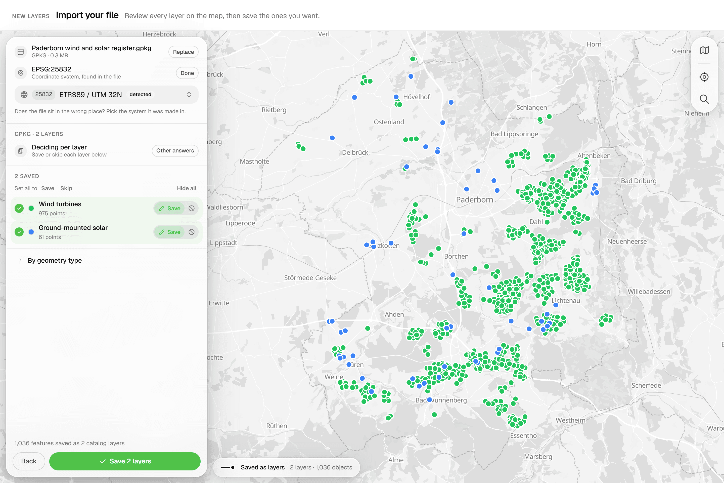
Upload a GeoPackage, zipped Shapefile, DXF/DWG, GeoJSON or CSV file, or draw directly on the map. Your client's trees, poles, pipes and plots are on the map in minutes.
GeoPackageShapefileDXF/DWGGeoJSONCSV - 02
Inspect in the field
Structured forms per feature with required fields, computed values, photos and signatures. Select up to 100 features and inspect them one by one, or apply the same values to all.
Structured formsPhotosBatch inspectStatus tracking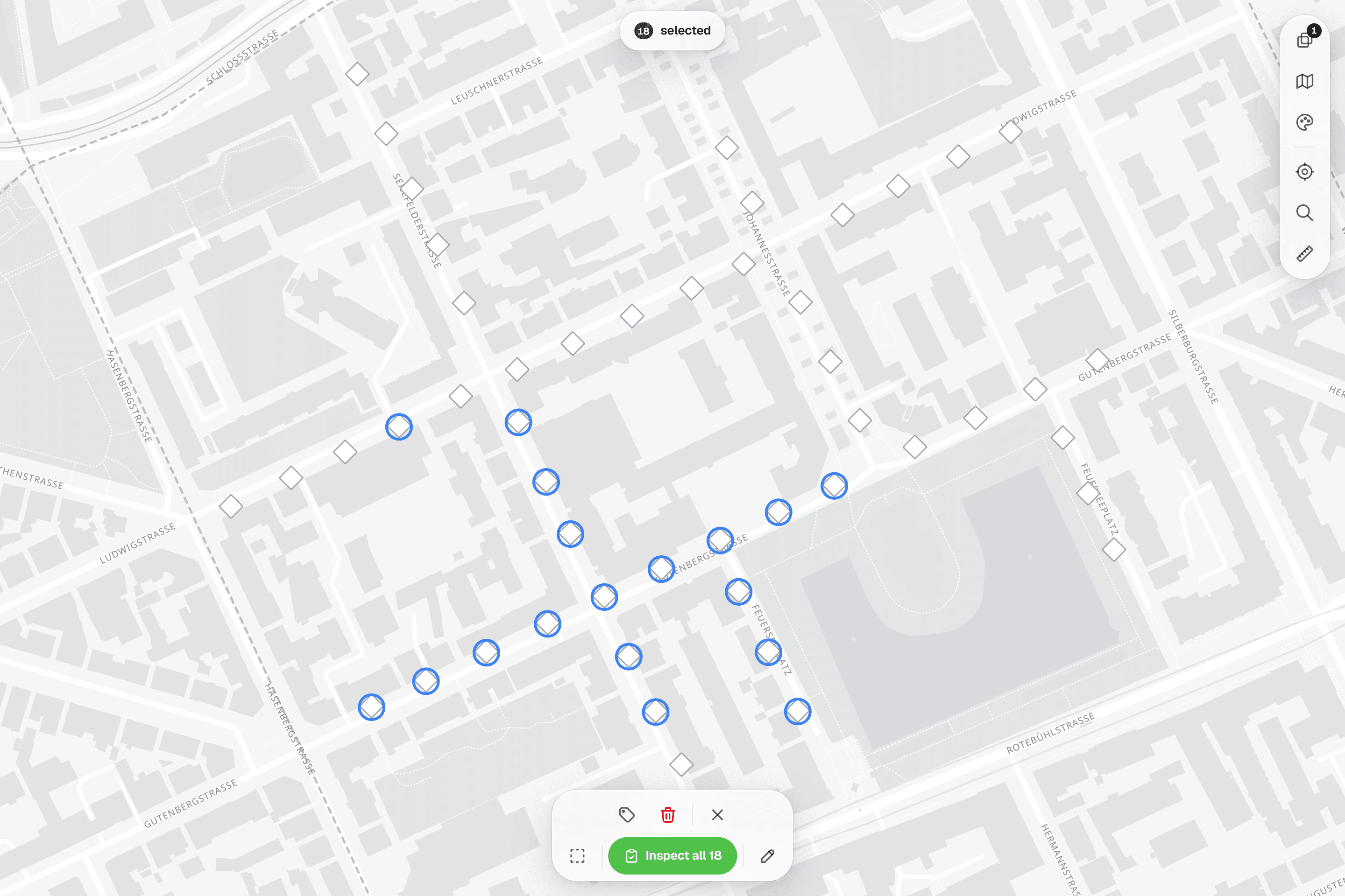
- 03
Deliver to your client
Give your client viewer access so they follow along live, with no license on their end. Finalize a PDF report, or export Excel, GeoPackage or a layered DXF for CAD. When the next round comes, start a new project on the same layer and every earlier inspection travels with it.
Client viewerPDF reportExcelDXFRepeat rounds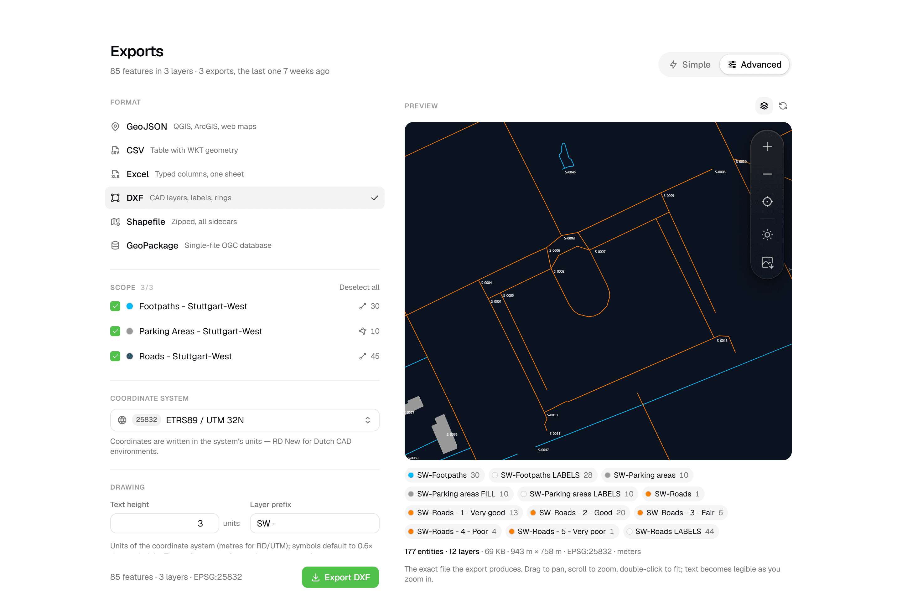
Features
Everything you need. Nothing you don't.
Built for contractors, consultants and asset owners who need professional tools without the enterprise complexity.
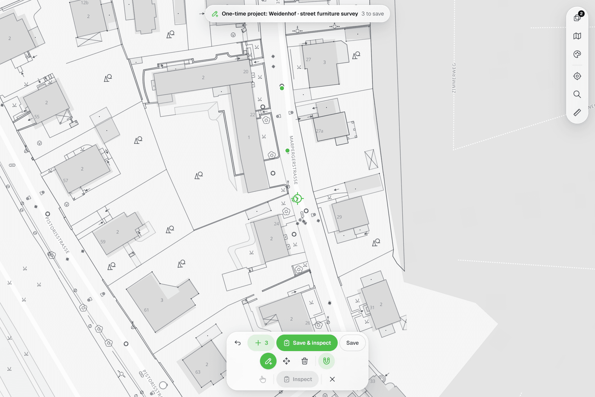
See everything on the map
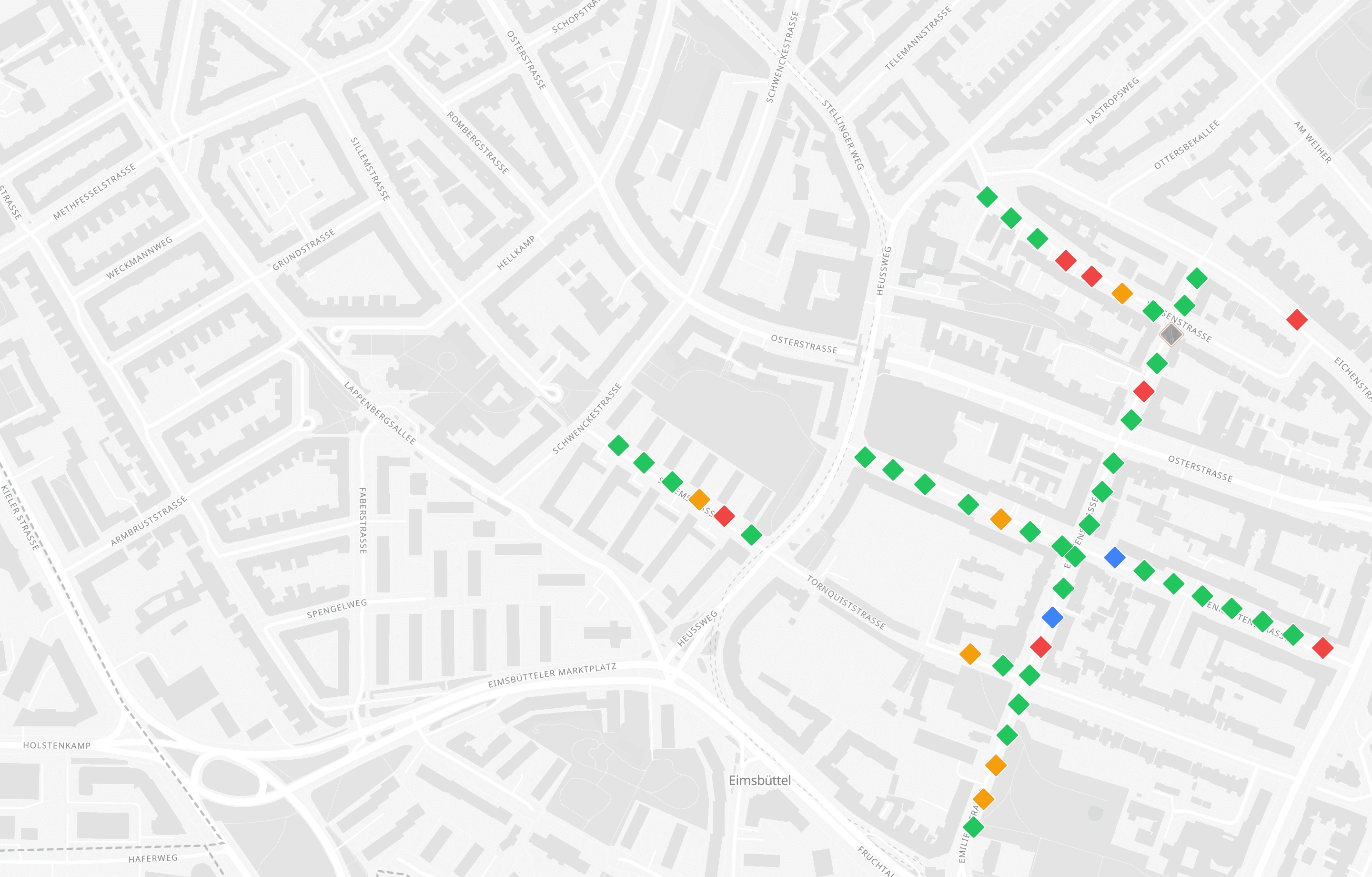
Points, lines and polygons over street maps, aerials, BGT and any CAD drawing you upload as reference. Place and correct geometry with a crosshair that snaps to the drawing.
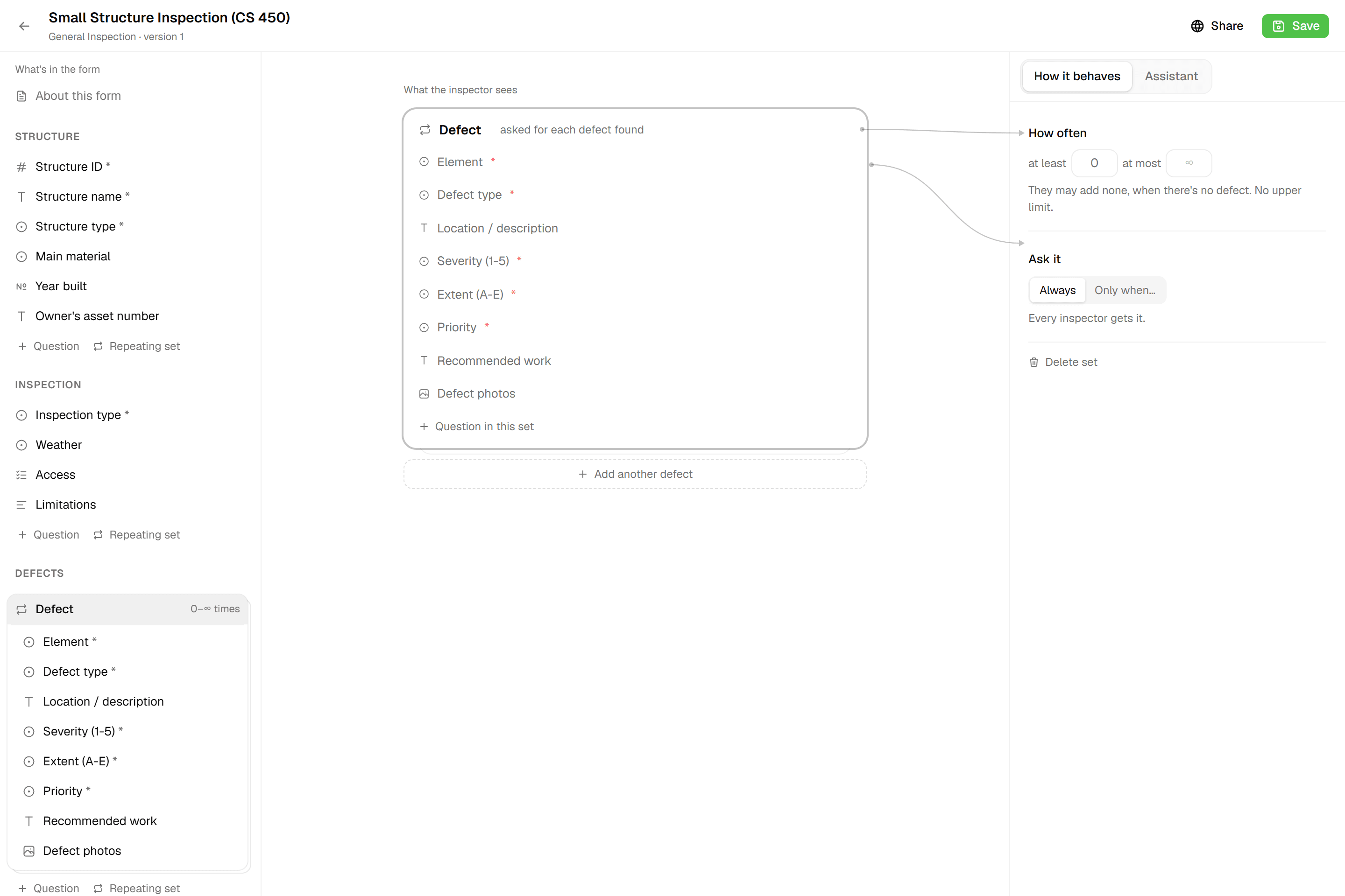
Forms that match your workflow
12 field types including Computed, Range and Signature. Formulas, unique IDs per layer and repeatable blocks. Every save is a new version, so running projects never change underneath you.
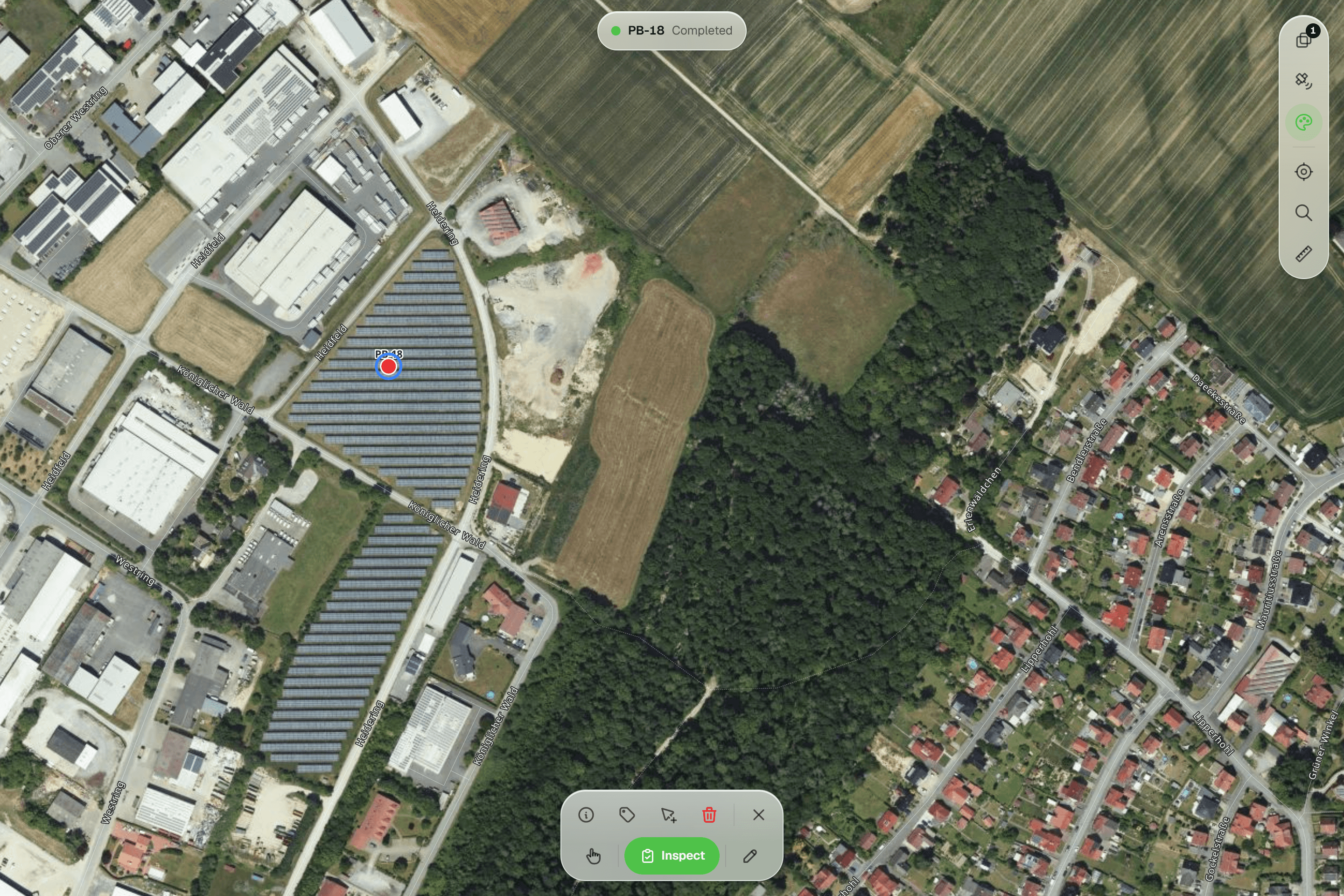
Every inspection stays on record
Submissions are appended, never overwritten. Run this year's round on the same layer and every earlier inspection stays on the record, field by field, with who recorded it and when.
Reports that assemble themselves
Block-based reports with live data tables, photo appendices, map figures and an AI assistant. Live PDF preview; finalize to an immutable PDF, revise as rev. B.
CAD-ready DXF, plus five data formats
Layered DXF with labels, rings and fills, previewed in the browser before you download. GeoJSON, CSV, Excel, Shapefile and GeoPackage on every plan.
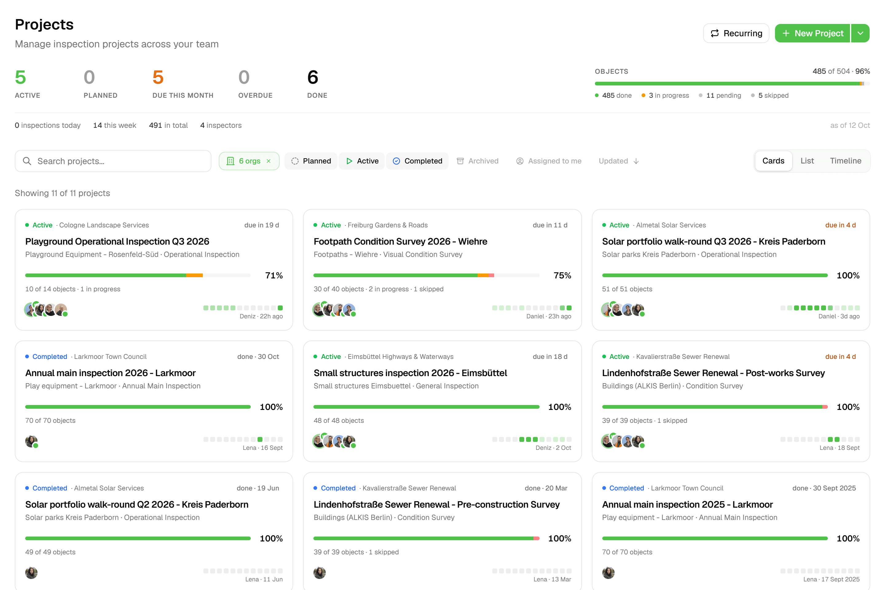
Built for multi-client work
One workspace, an organization per client with its own layers, projects and logo. Filter layers, map and projects by client, and invite client contacts who see only their own organization. Viewers don't use a seat.
Multi-client
Every client in one account
Each client gets its own workspace with its own projects, layers and forms. Switch client and the map, the forms and the history follow; nothing from one client ever shows up in another's export.
- Multi-client workspacesOne account, all your clients
- Custom formsBuild forms that match your workflow
- Field inspectionsTrack progress on every asset
Industries
Industry Solutions for Field Data Collection
Map-first inspections with structured forms, photos and a full history per asset, exported as Excel, GIS formats and CAD drawings your clients can open.
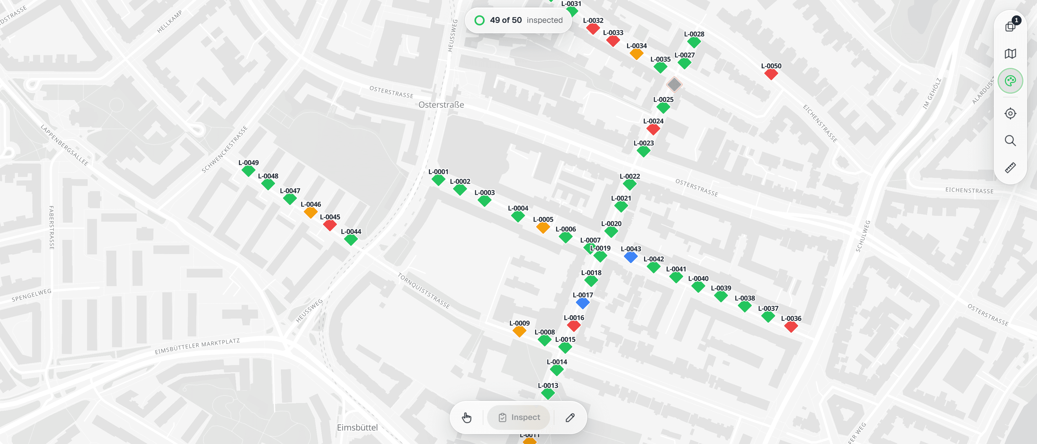
Utilities & Energy
Pole, pipeline and substation inspections captured once on the map, exported in formats Maximo, SAP PM and any GIS can load.
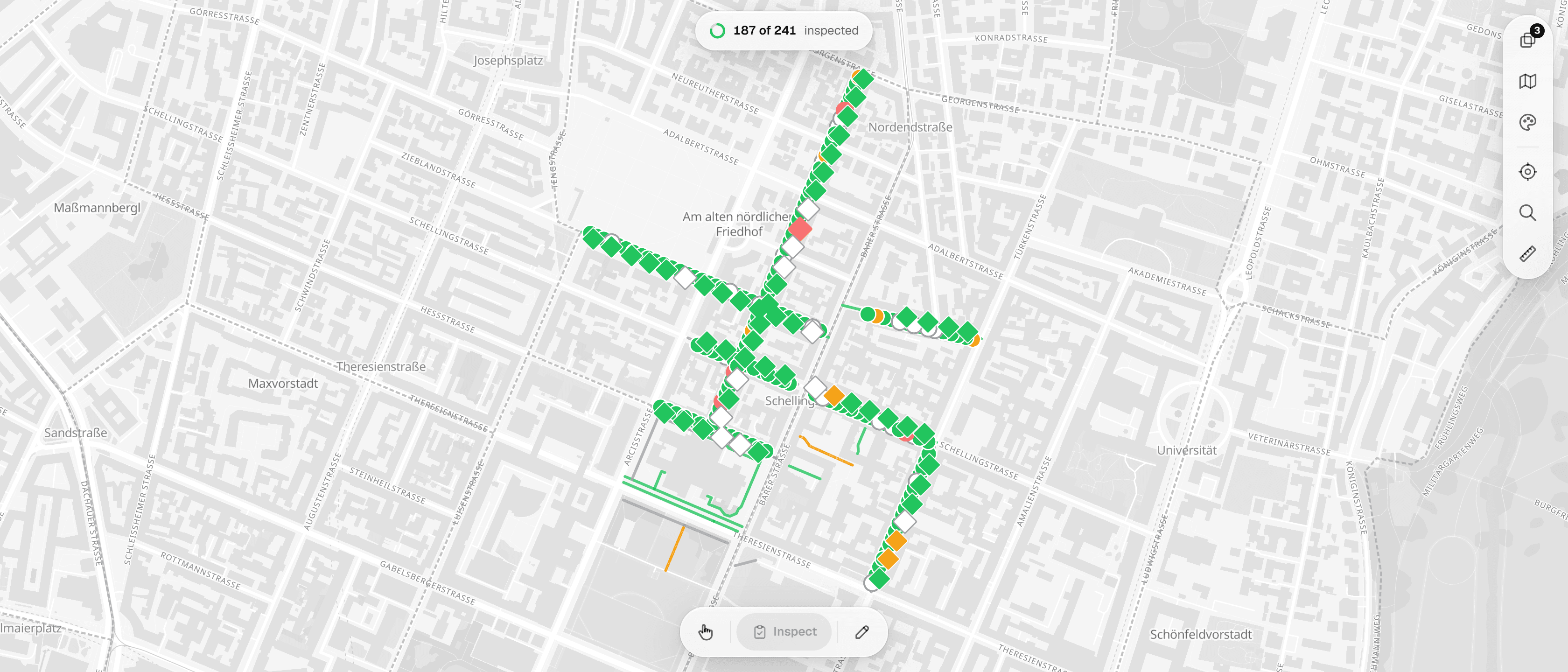
Environmental Consulting
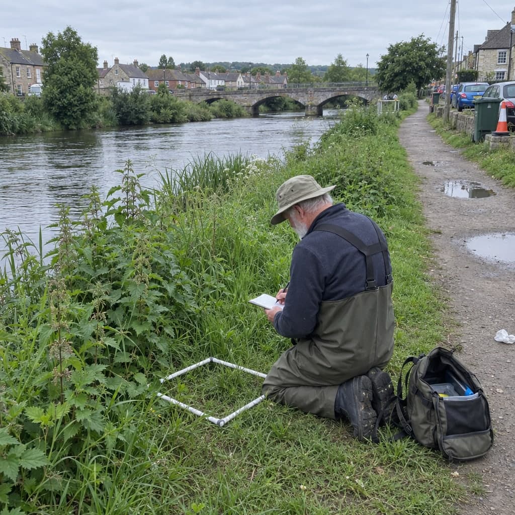
Habitat surveys, tree inventories and EIA fieldwork as located records with photos, exported in the formats your reports need.
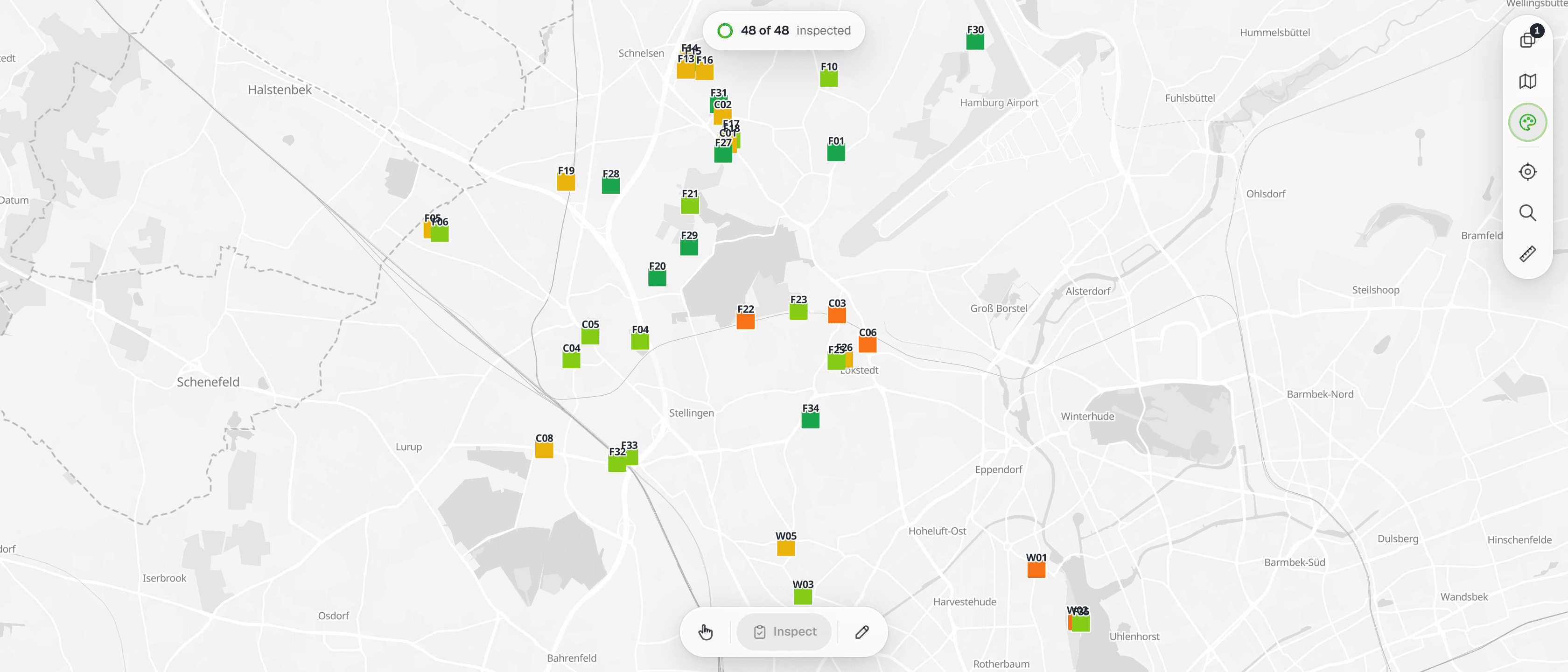
Infrastructure Inspection
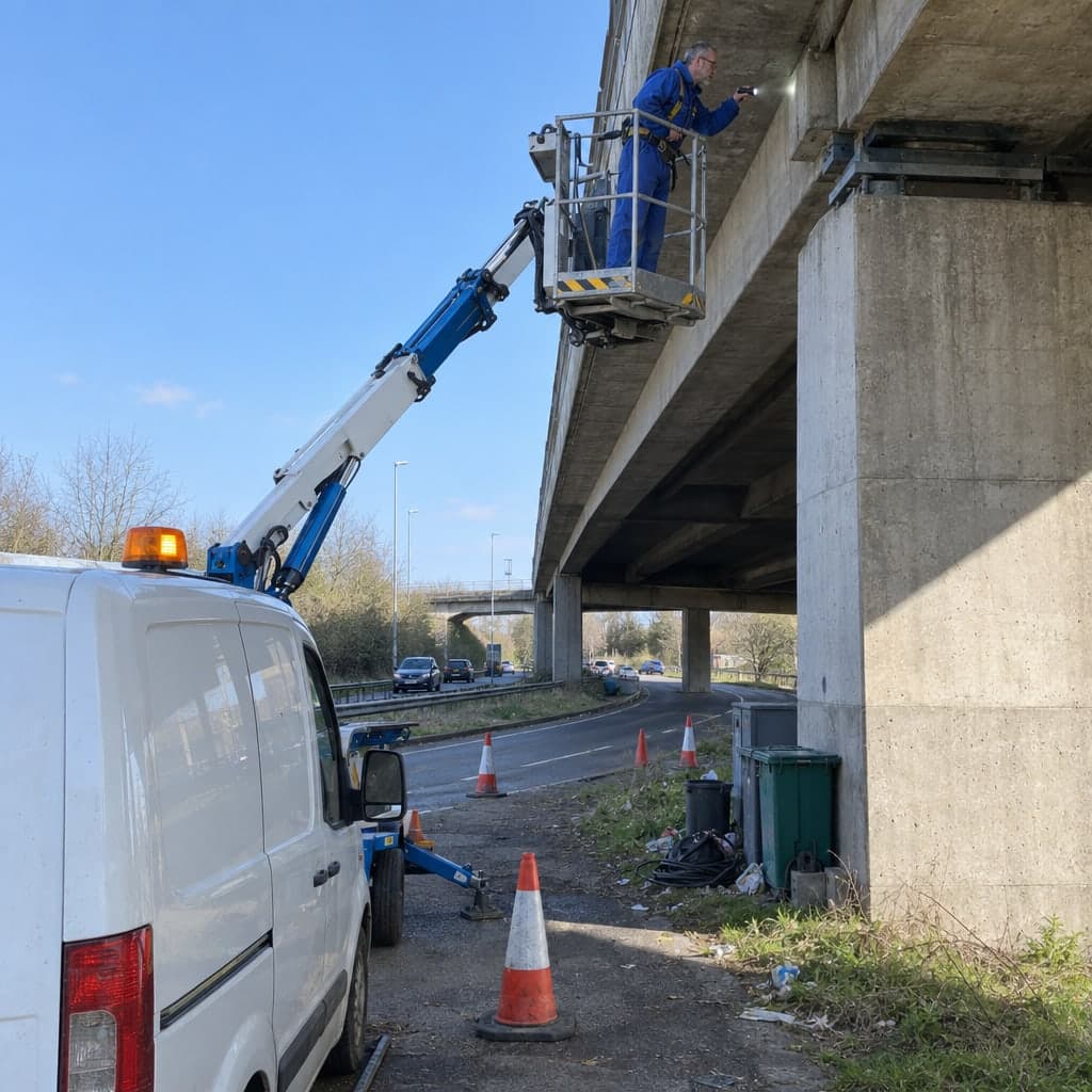
Bridge, road and structure inspections with structured forms and photo evidence, delivered as clean data and condition maps.
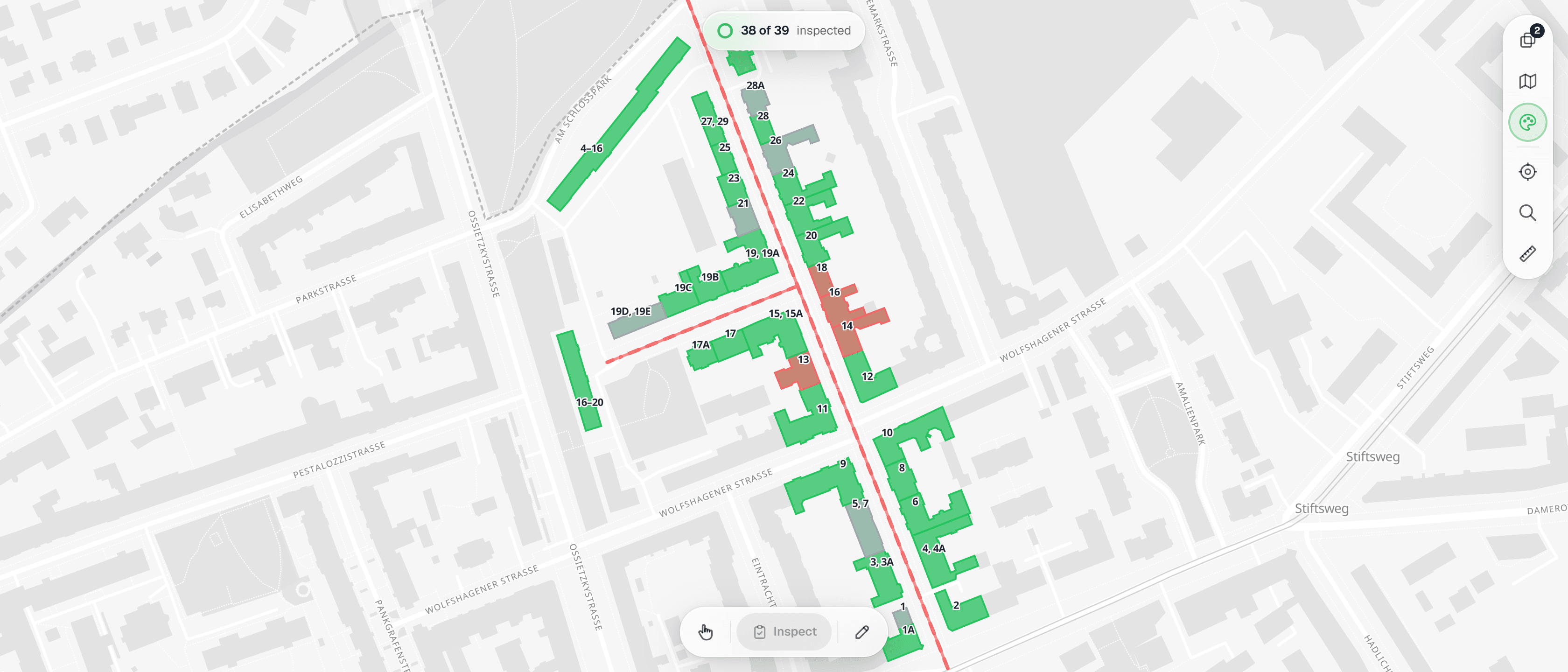
Construction & Civil
Site inspections, progress records and snag lists on one map, with photos attached to every finding from groundbreaking to handover.
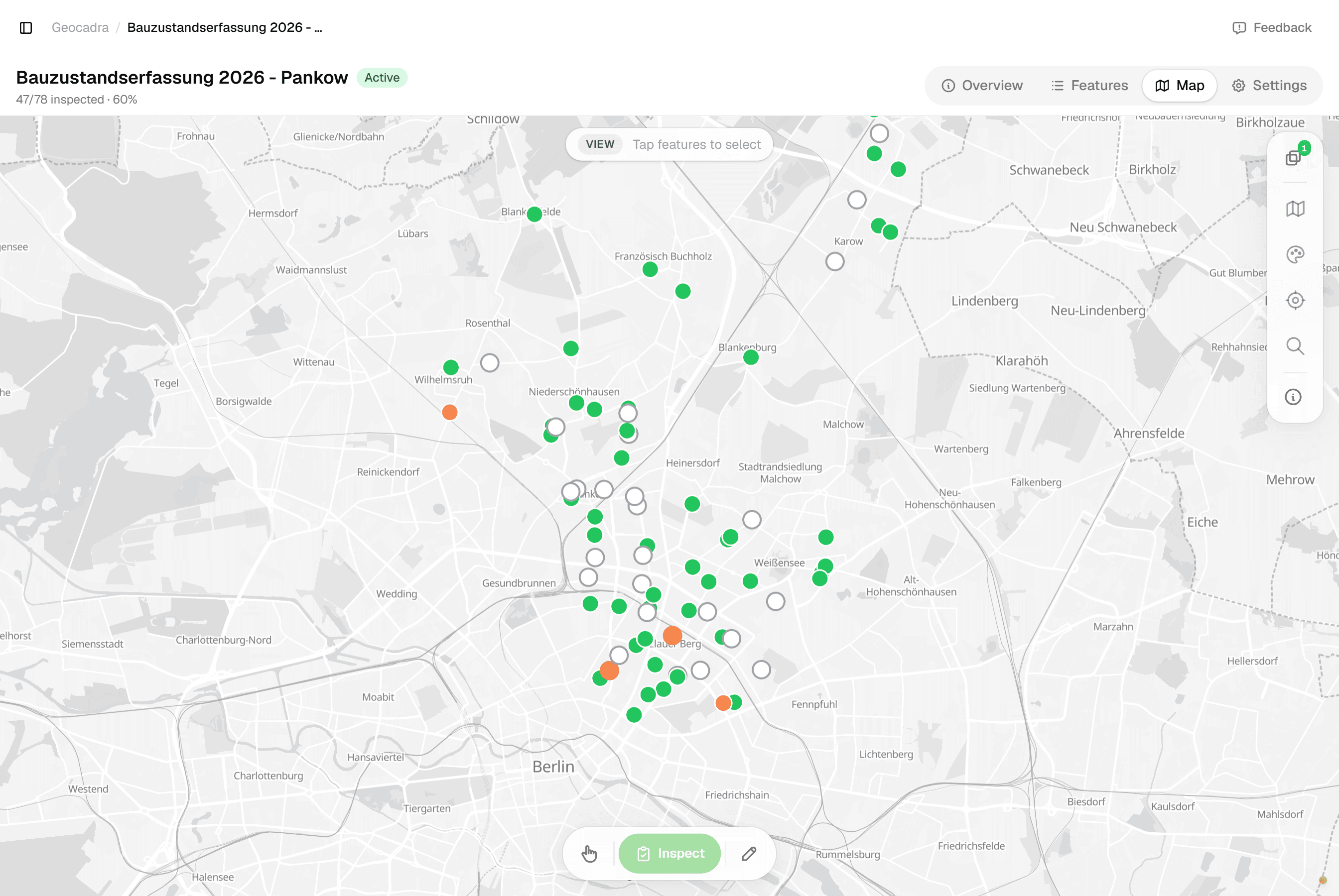
Property Inspection
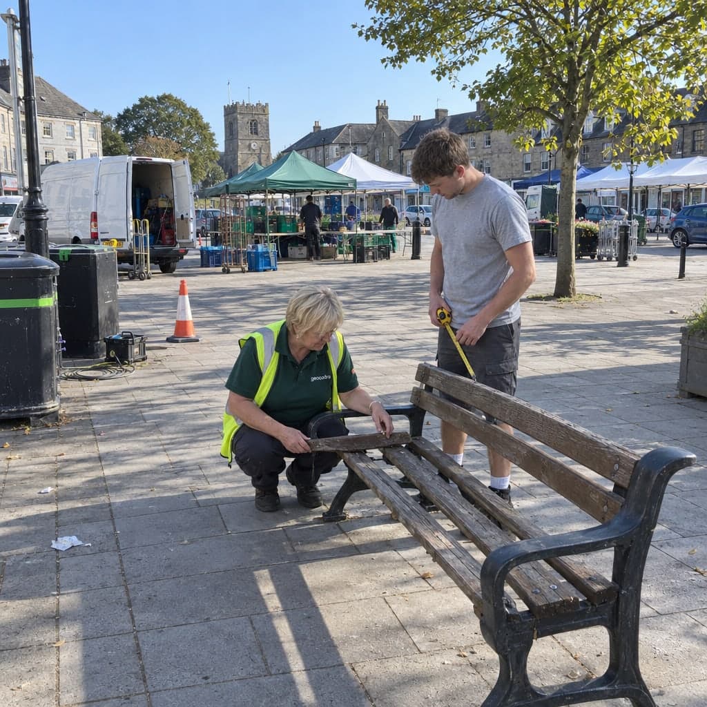
Condition assessments and facility audits as structured records with photos, ready to export the day the visit ends.
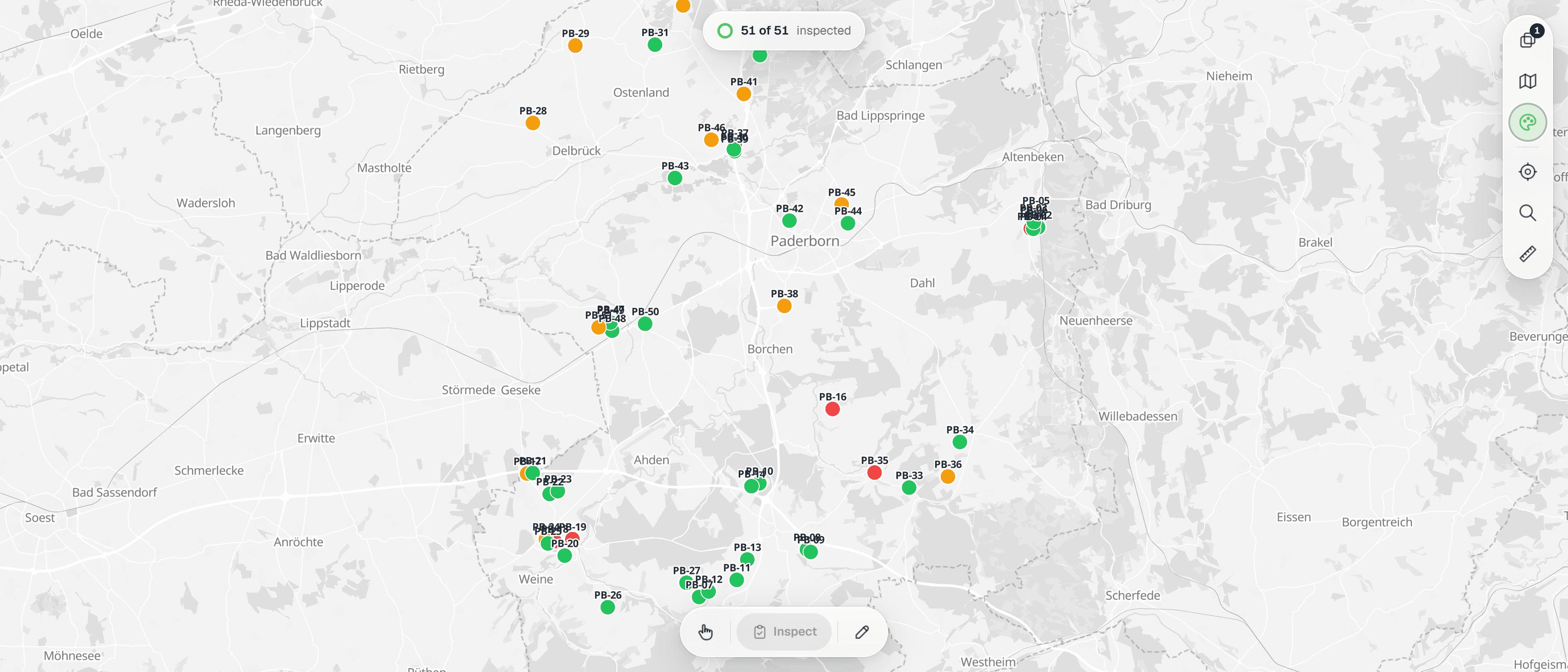
Renewable Energy
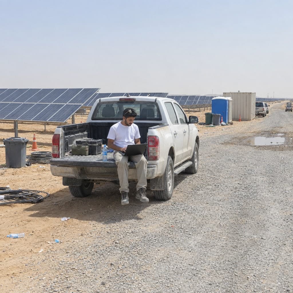
Turbine, solar and site inspections recorded on the map with photos, exported as Excel, GIS files or a layered DXF drawing.
Pricing
Stop paying for viewers. Client access is free.
Other tools charge for every user, including clients who only view their own data. With Geocadra you pay for data collectors; client viewers are free, 2 to 10 per seat depending on plan.
- Clients view free
2–10 free viewers per paid seat
- Multi-client ready
Separate workspaces per client
- EU data storage
GDPR-compliant by design
Annual billing: 2 months free. Start with a 14-day free trial.
- Traditional tools
- €1,180per month
- 4 users and 16 viewers, all paid
- Geocadra Pro
- €396per month
- 4 seats, viewers free
You keep €784 a month
Market rate assumed: €99 per user, €49 per viewer. Illustrative.
Why we built this
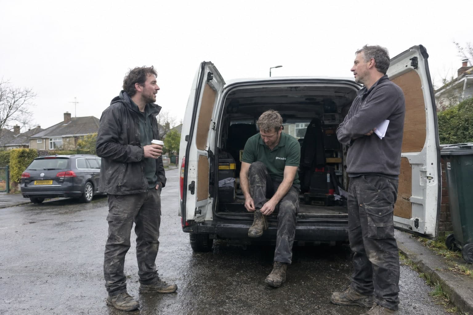
Built by people who did the rounds.
“We've spent 10 years in the field inspection industry. We built Geocadra because we were tired of the same choice: expensive enterprise tools or cobbled-together spreadsheets. This is the platform we wish we'd had.”
The Geocadra founders
- EU data storage
- GDPR compliant
- No credit card required
Ready to get your field data on the map?
Stop fighting your tools. Set up a project, capture in the field, and hand your client the result from the same workspace, this round and every round after.
No credit card requiredFree trial included