
Every inspection stays on record
Submissions are appended, never overwritten, so each feature keeps a full timeline of who recorded what, and when.
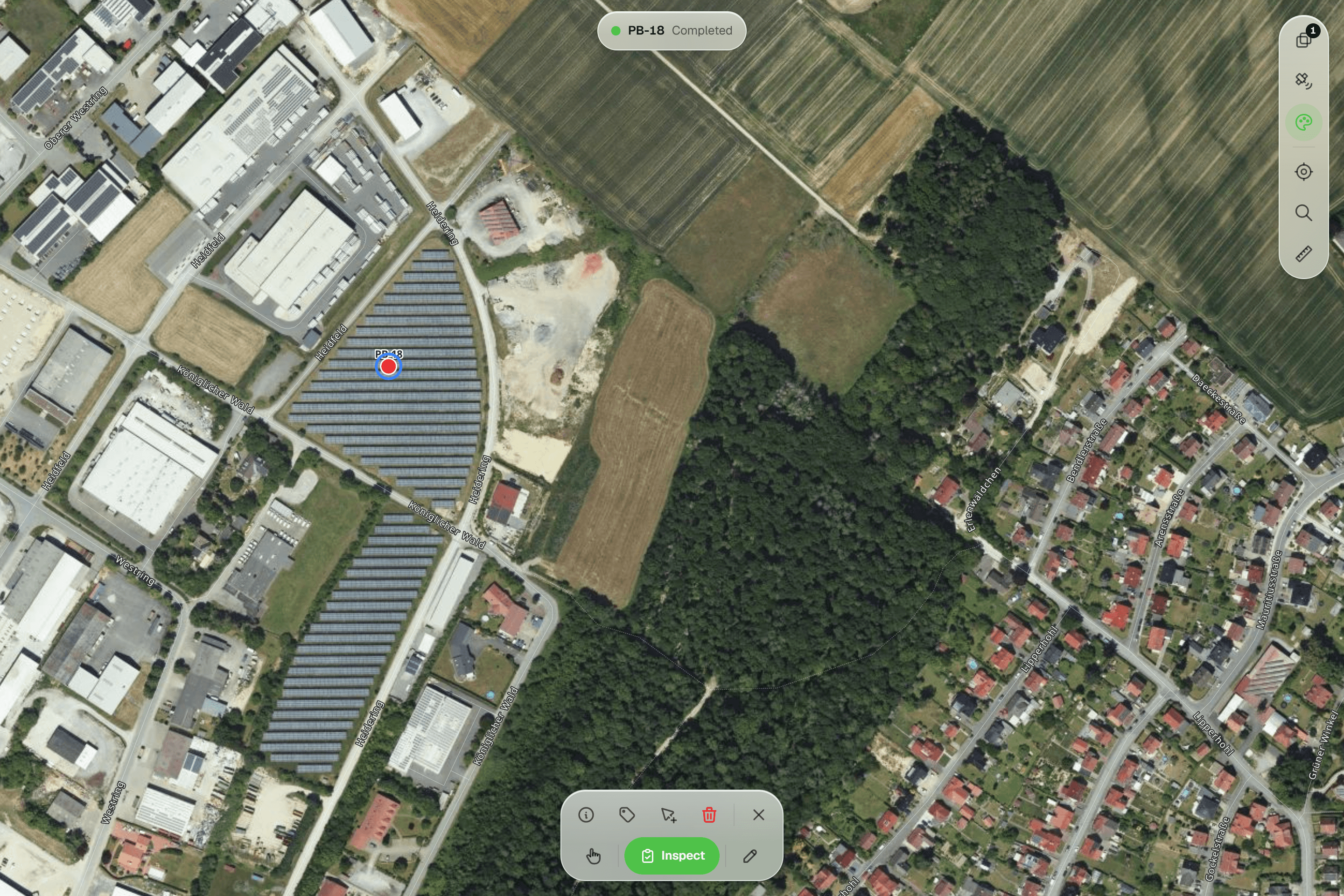
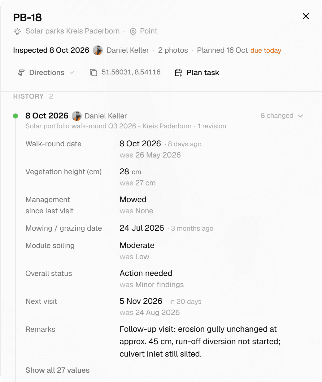
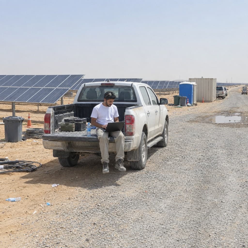
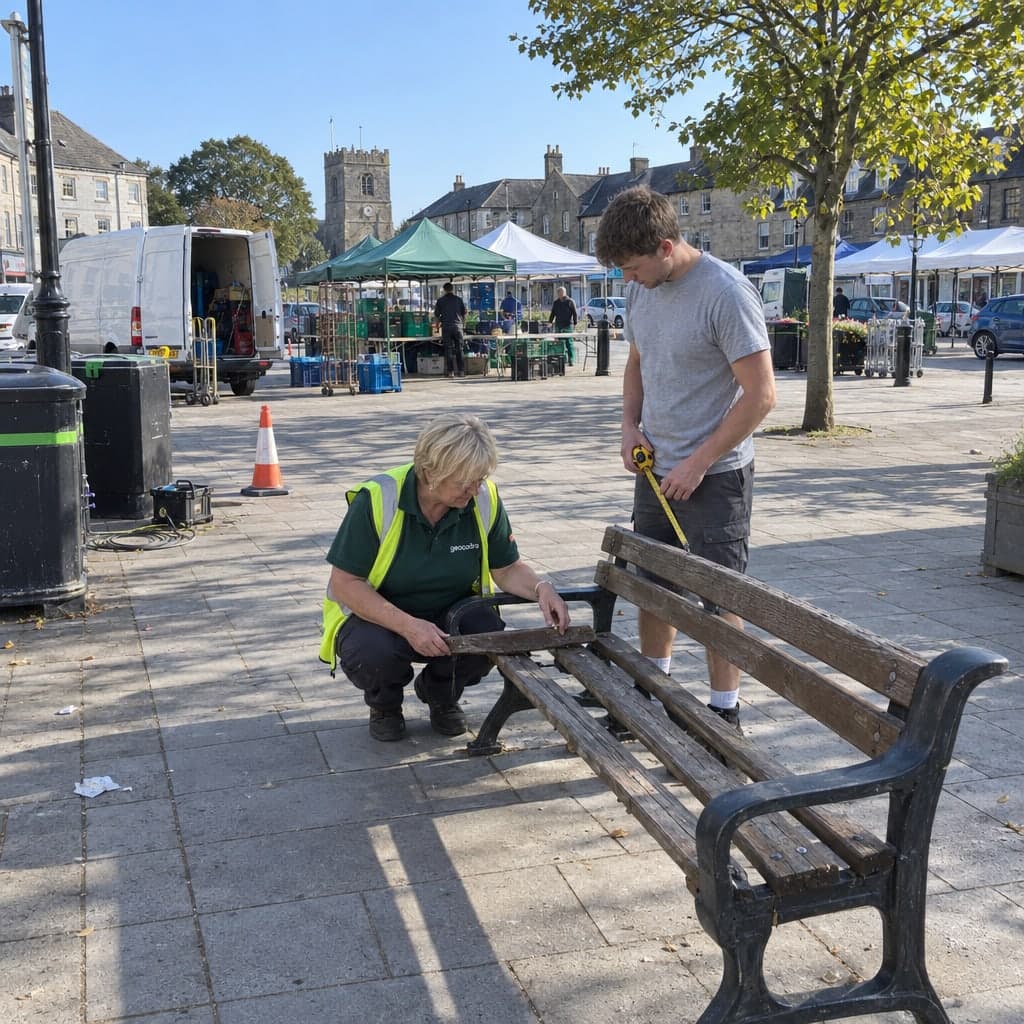
A tree, a lamp post or a drain gets inspected more than once. In Geocadra each submission, whether it comes from the field, a batch inspection or a correction in the grid, is a new entry on the feature's record. The earlier entries stay exactly as they were, and the latest one is what exports and reports use.
The problem
Overwrites erase the evidence
A tool that stores one value per field, the current one, loses last year's condition rating the moment you re-inspect, together with the name of the person who recorded it. When a client asks why a tree was marked for felling, or when a correction made at the desk can no longer be told apart from an observation made on site, there is nothing to look back at.
The solution
Append, never overwrite
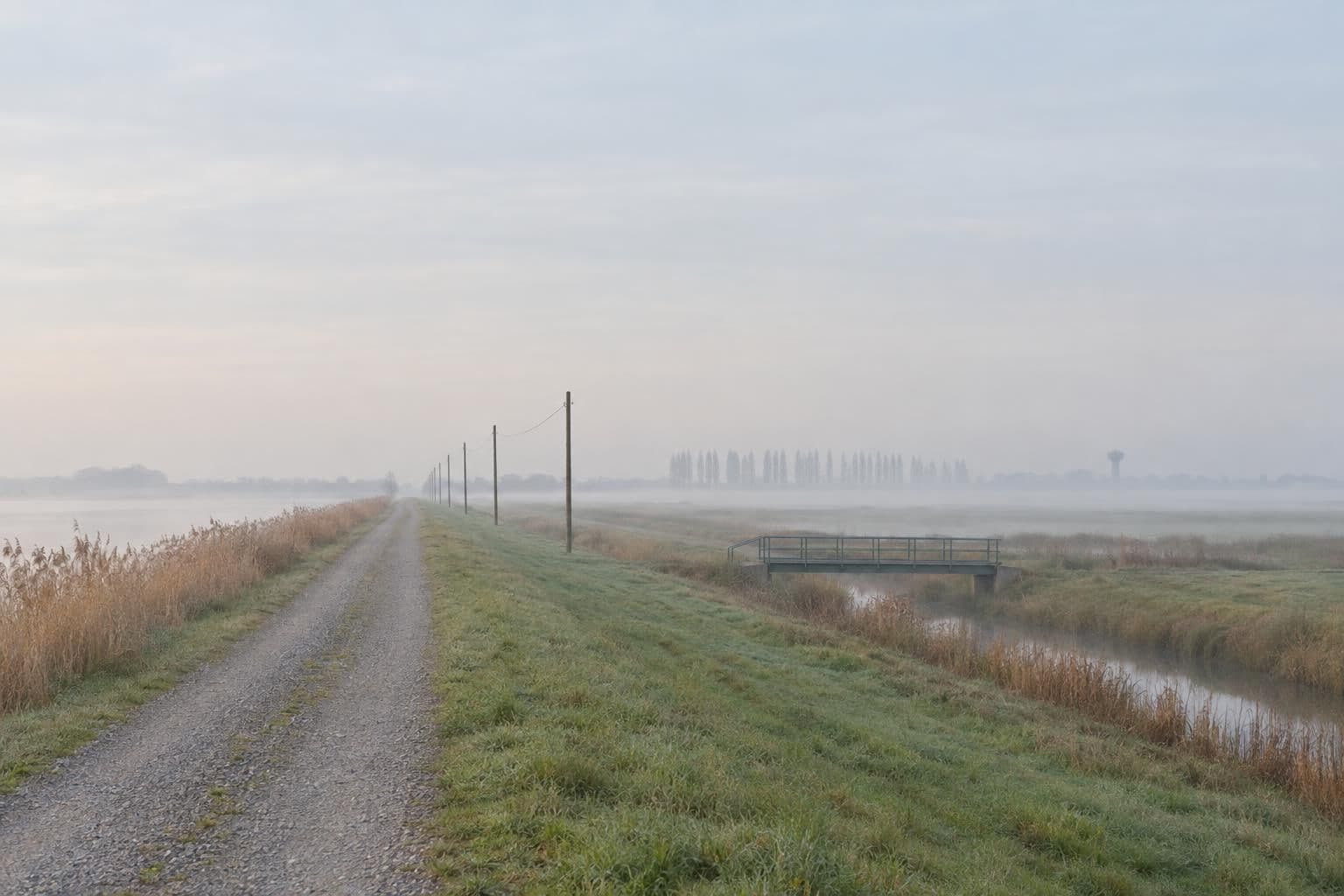
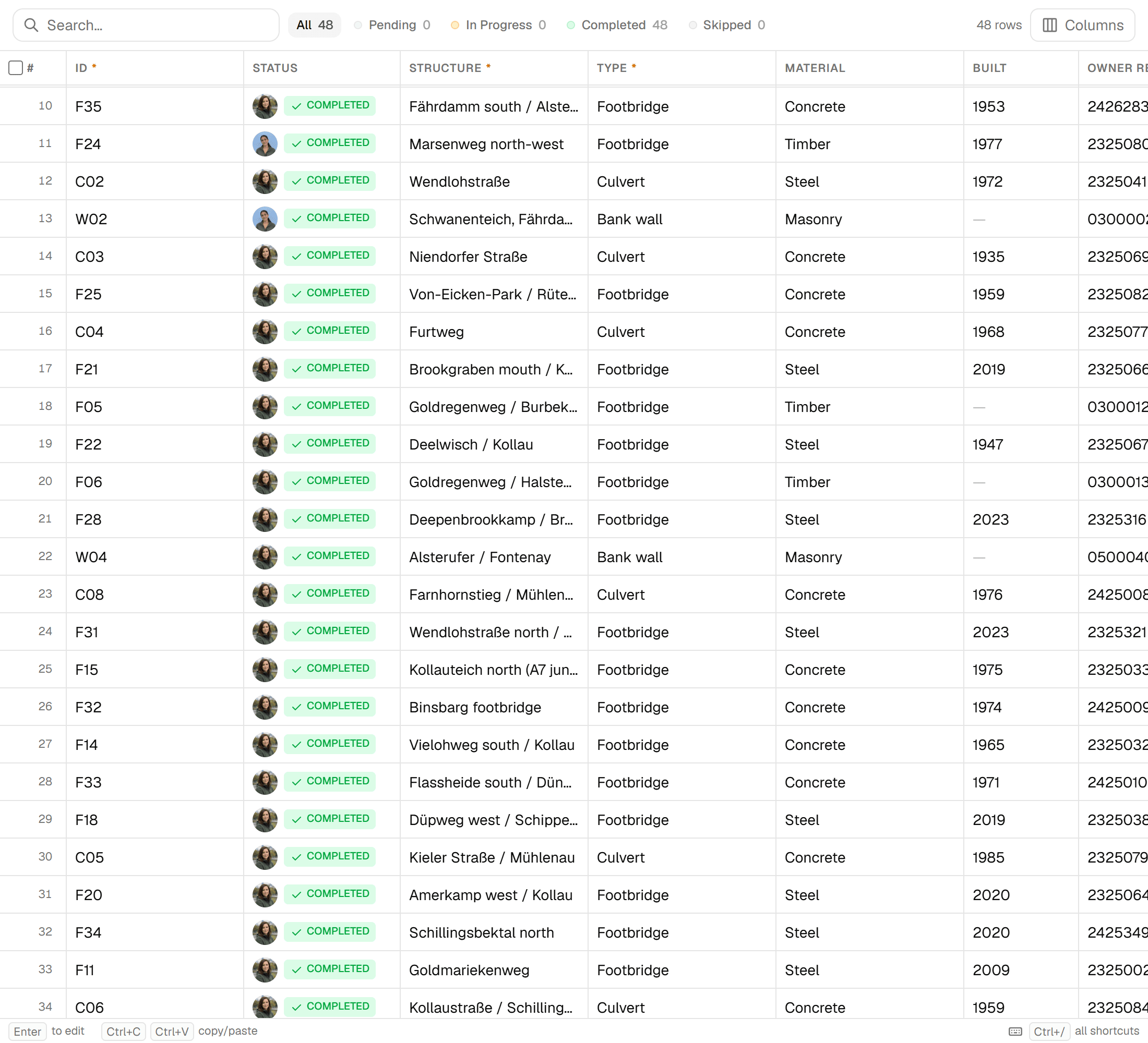
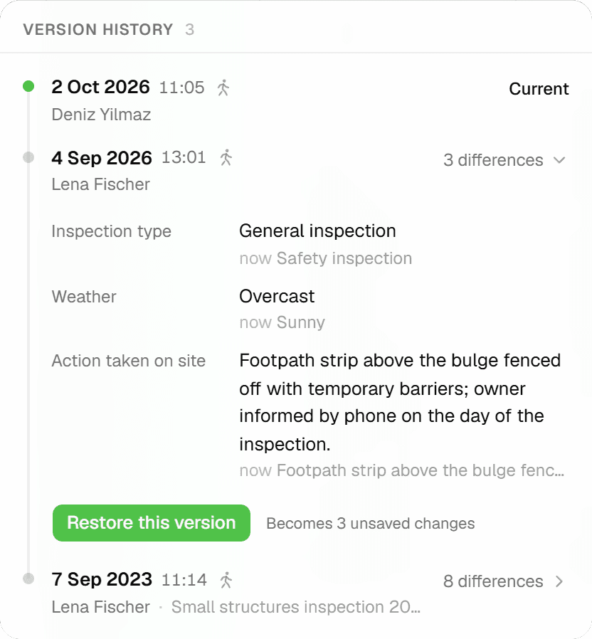
Every submit creates a new inspection row; nothing is edited in place. The feature detail shows a 'Form Submissions (N)' timeline with who and when, plus an attribute-level history so you can follow a single field across submissions. Corrections made in the grid are tagged as such and carry a 'Corrected' badge, and the grid's 'Version history' lets you restore any earlier snapshot, staged for review before it is saved.
Key benefits
- Append-only: a new submission never overwrites the last
- 'Form Submissions (N)' timeline with who and when
- Attribute-level history: follow one field across submissions
- Grid corrections carry a 'Corrected' badge
- 'Version history' with Restore, staged until you Save
- Retried single and grid saves are recognised, not duplicated
Common Use Cases
- 01
Recurring inspection rounds
Inspect the same layer year after year. Each round adds a submission to every feature it covers; the latest one feeds exports and reports, and the earlier rounds stay on the record for comparison.
- 02
Corrections from the office
Fix a typo or a misread value in the grid without touching the field observation. The correction is saved as its own submission, tagged with source 'grid' and shown with a 'Corrected' badge, so field data and desk edits stay distinguishable.
- 03
Answering client questions
When a client asks who assessed a feature and when, open its detail view: the timeline lists every submission with the person and the timestamp, and the attribute history shows what each field was at that point.
- 04
Undoing a bad edit
An edit in the grid that went wrong is not permanent. Open the row's 'Version history', pick the earlier snapshot and press Restore: the old values are staged in the grid and nothing is written until you Save. Restore works per row, so a bulk change is undone row by row.
Frequently Asked Questions
Can a past submission be edited?
No. Submissions are append-only. To correct a value you save a new submission, either from the inspection sheet or as a correction in the grid, and the original entry stays on the timeline.
What does Restore actually do?
It stages the values from an earlier snapshot in the grid; nothing is saved until you press Save, and the change counter opens a review popover listing every cell old → new before you do. Because the restore is itself a new submission, it can be restored from again. If the row changed in another tab in the meantime, Restore is disabled.
Which values do exports and reports use?
The latest inspection per feature. Data exports with 'Inspection data' switched on and data-driven report blocks both read from the most recent submission; the full timeline stays available in the app.
What if the connection drops while saving?
Single inspections and grid saves carry a client request id. If the response is lost and the save is retried, the server returns the original result instead of creating a duplicate entry or using up a sequential ID number.
Can I find features that have not been inspected for a while?
Yes. The workspace map's filter panel has temporal filters: 'Recently updated', 'Stale data', 'Inspected between' two dates, and inspection status inspected or never inspected.
Does a correction change the feature's status?
Completed is never downgraded. In the grid, a row only becomes Completed once every required field is filled; until then it moves from Pending to In Progress.
Explore More Features
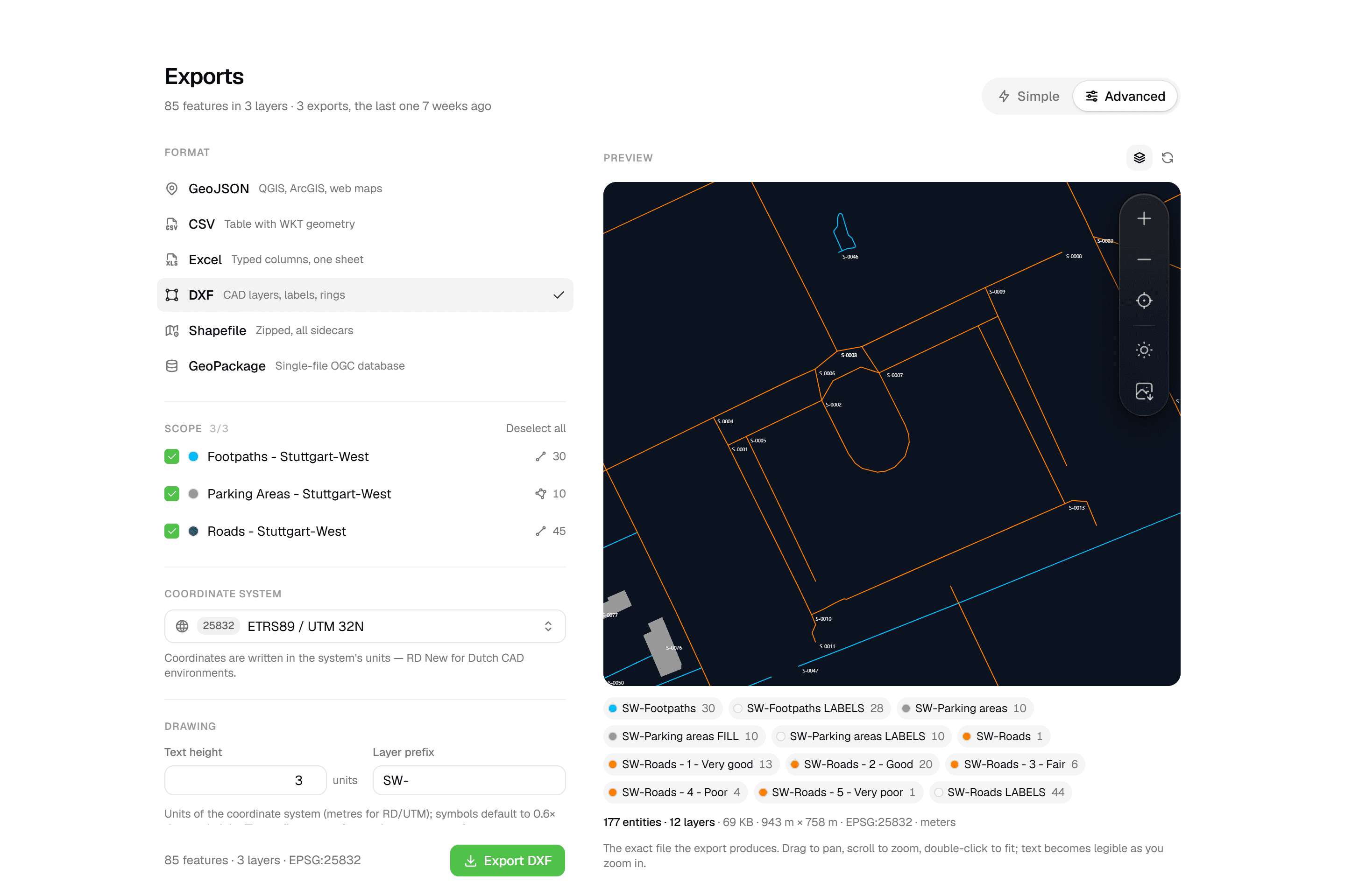 CAD-ready DXF, plus five data formatsLayered DXF with labels, rings and fills, previewed in the browser before you download. GeoJSON, CSV, Excel, Shapefile and GeoPackage on every plan.
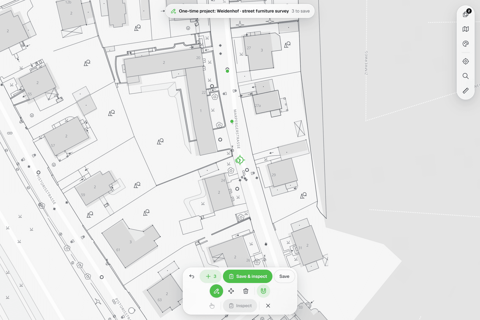 See everything on the mapPoints, lines and polygons over street maps, aerials, BGT and any CAD drawing you upload as reference. Place and correct geometry with a crosshair that snaps to the drawing.
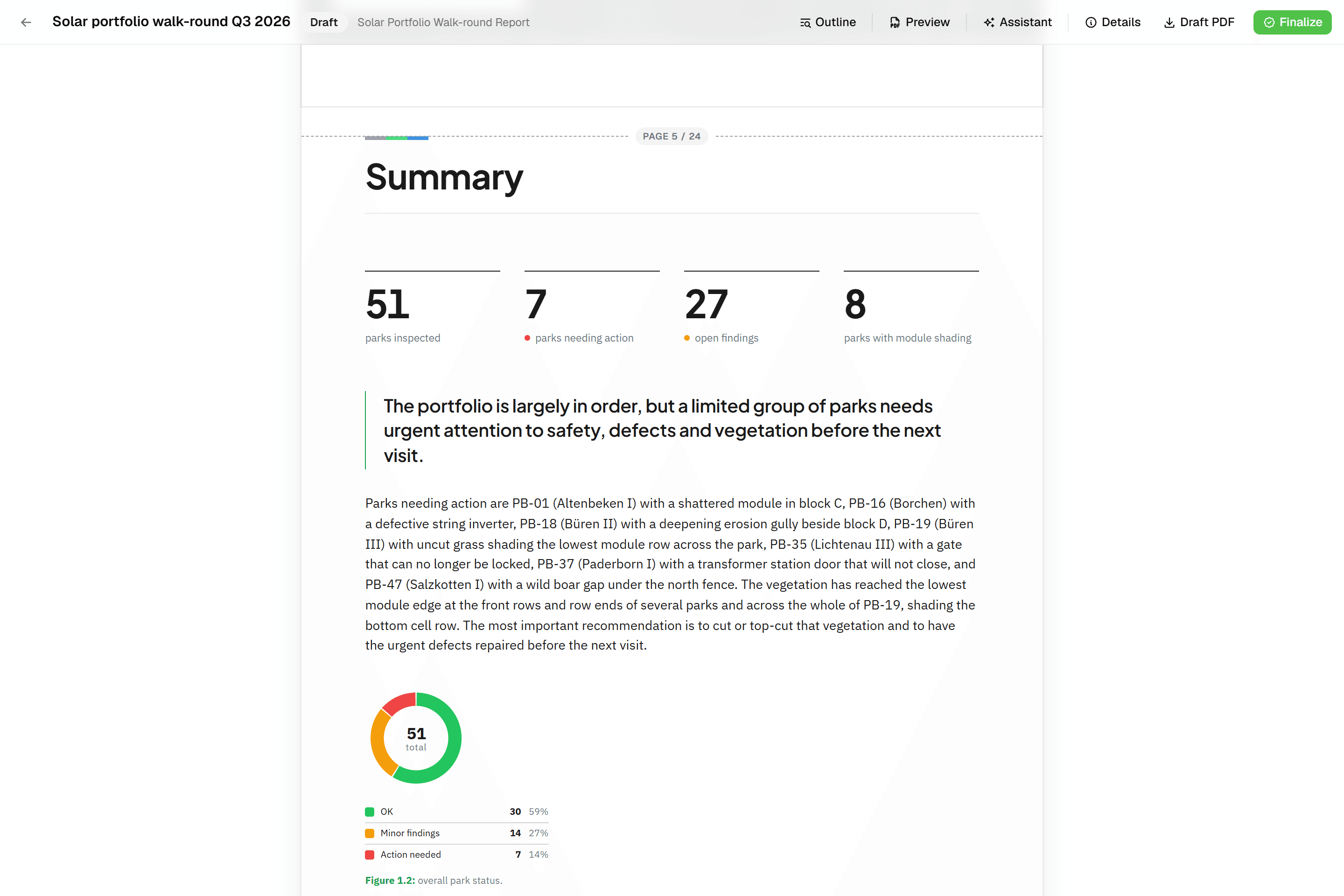 Reports that assemble themselvesBlock-based reports with live data tables, photo appendices, map figures and an AI assistant. Live PDF preview; finalize to an immutable PDF, revise as rev. B.
Try it on your own data
Set up a project and see your own data on the map. Free for 14 days, no credit card.
No credit card requiredFree trial included