Compare
Geocadra compared with the tools field teams use today
Fulcrum, ArcGIS Field Maps, Survey123, QGIS, Mergin Maps, Excel and paper: what each does well, where it gets in the way of client rounds, and what it costs.
Comparisons
Pick the tool you use now
Each comparison has a feature table, pricing, two worked jobs and an honest note on when the other tool is the better choice.
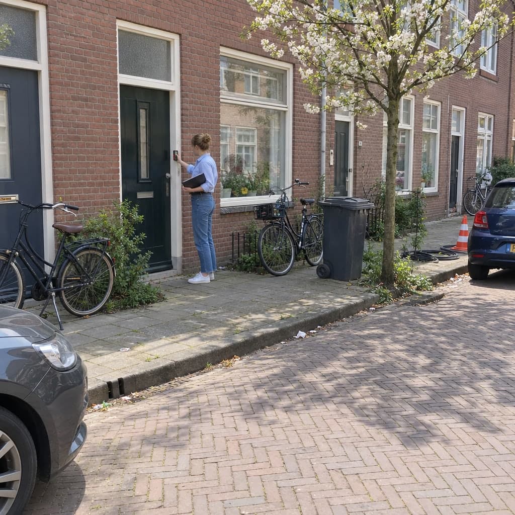
Geocadra vs Fulcrum
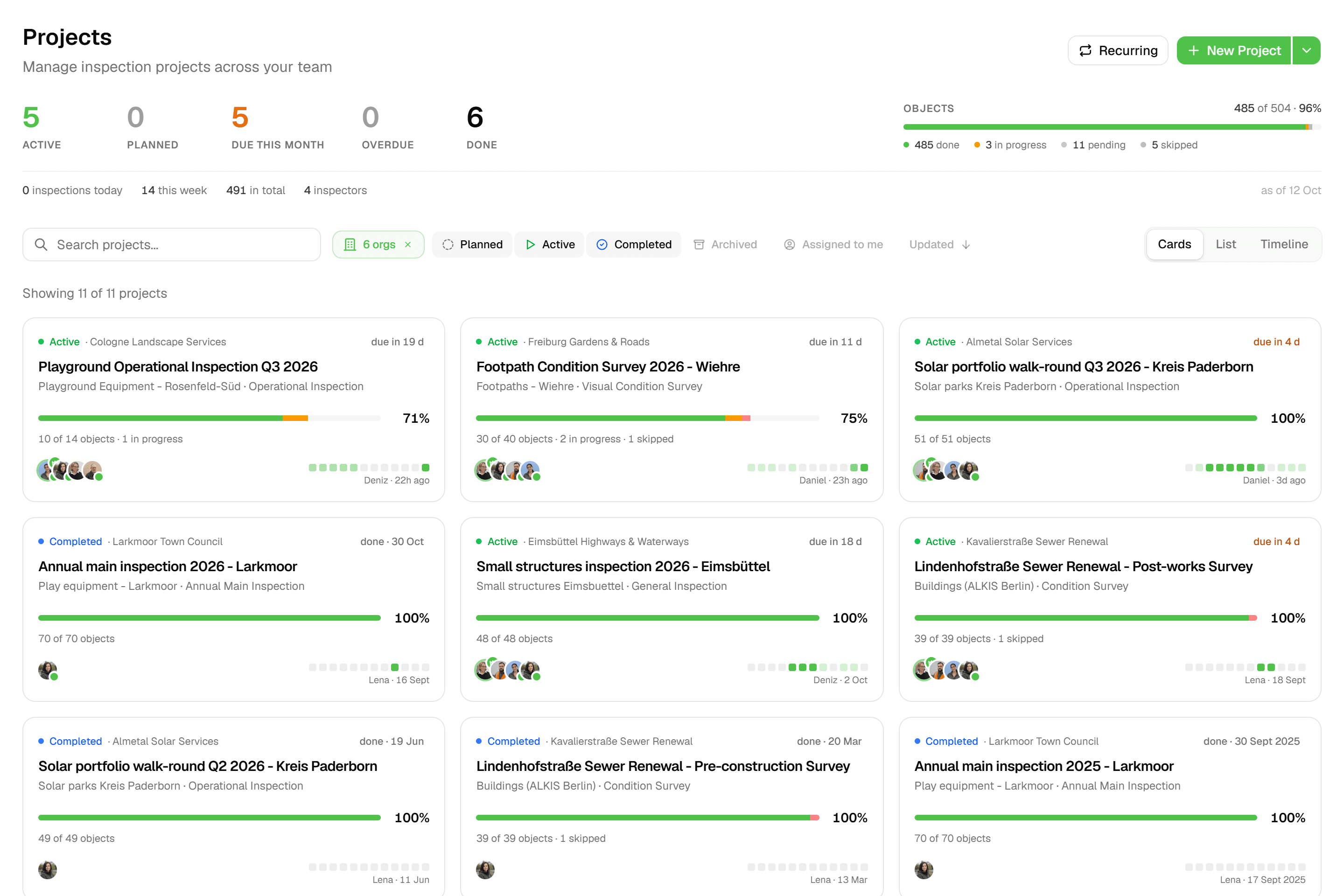
One subscription for every client, free client logins, no five-user minimum, and CAD drawings in and out.
Read the comparison
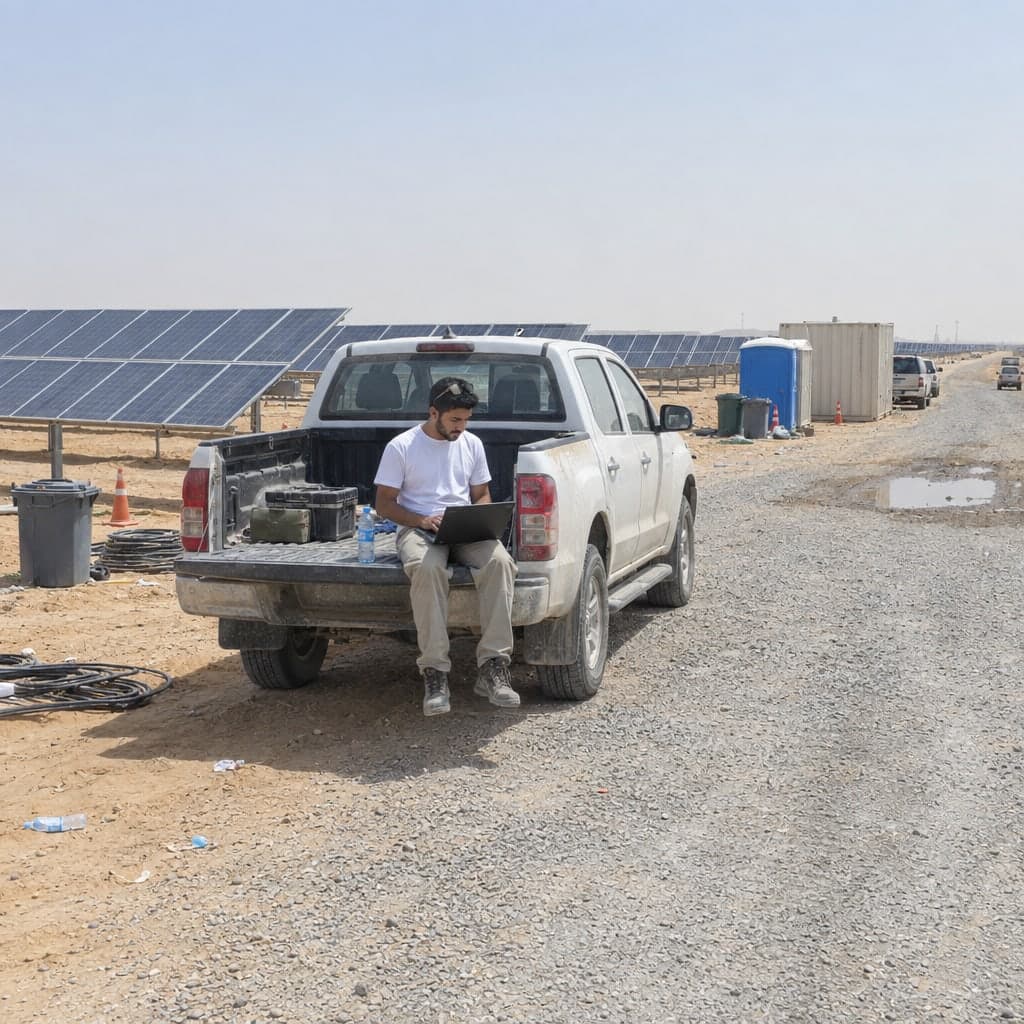
Geocadra vs ArcGIS Field Maps
Field rounds without a GIS specialist: free client logins, DXF without ArcGIS Pro, reports without credits.
Read the comparison
Geocadra vs Survey123
Forms with logic and formulas on a map, without buying ArcGIS first; reports without Word templates or credits.
Read the comparison
Geocadra vs QGIS
QGIS stays for analysis. Field rounds, client logins and reports run in the browser, without project files.
Read the comparison
Geocadra vs Mergin Maps
No QGIS project to build: forms in the browser, an organization per client, reports and DXF included.
Read the comparison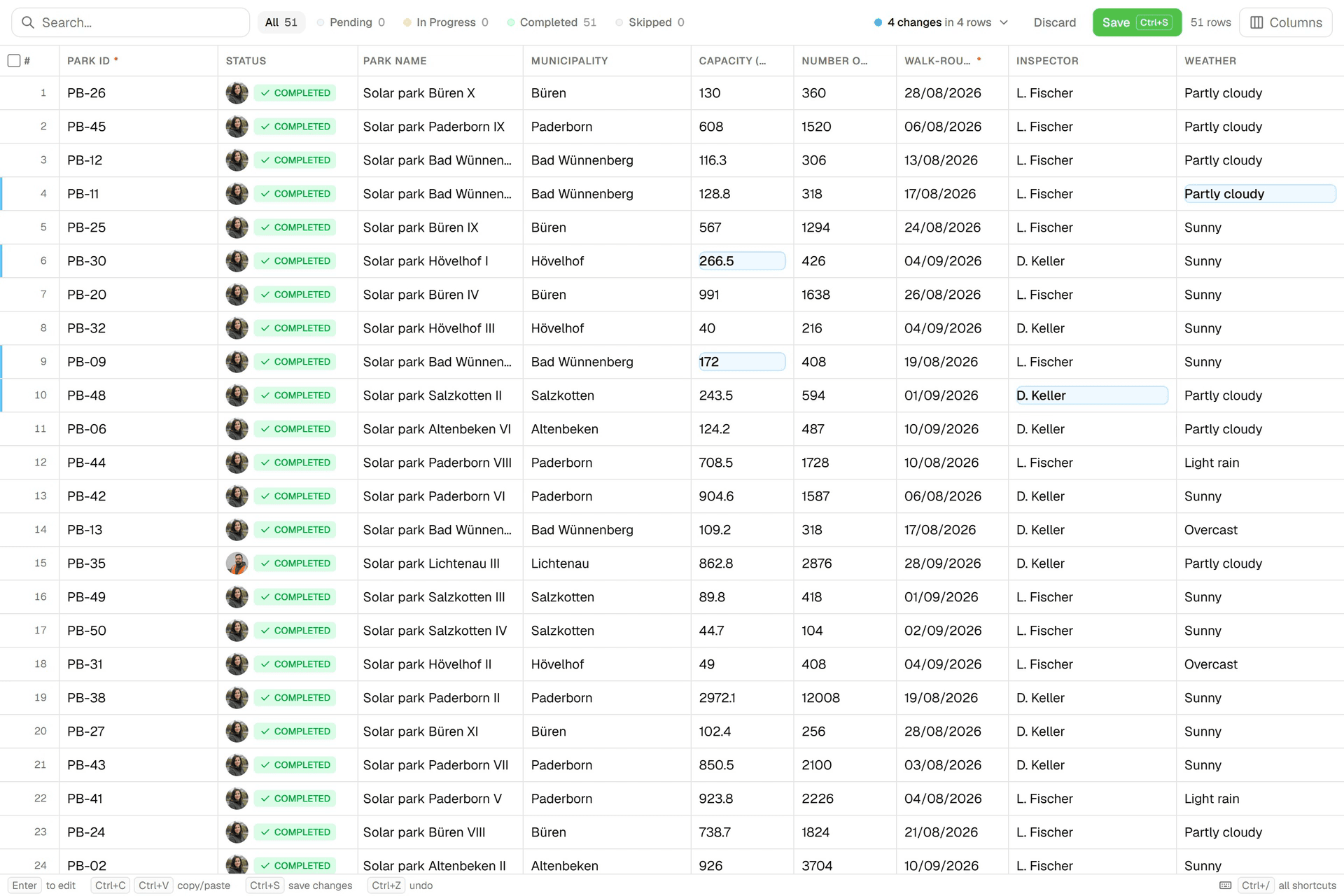
Geocadra vs Excel
The spreadsheet stays for analysis; the round moves to a map with forms, photos on the record and reports.
Read the comparison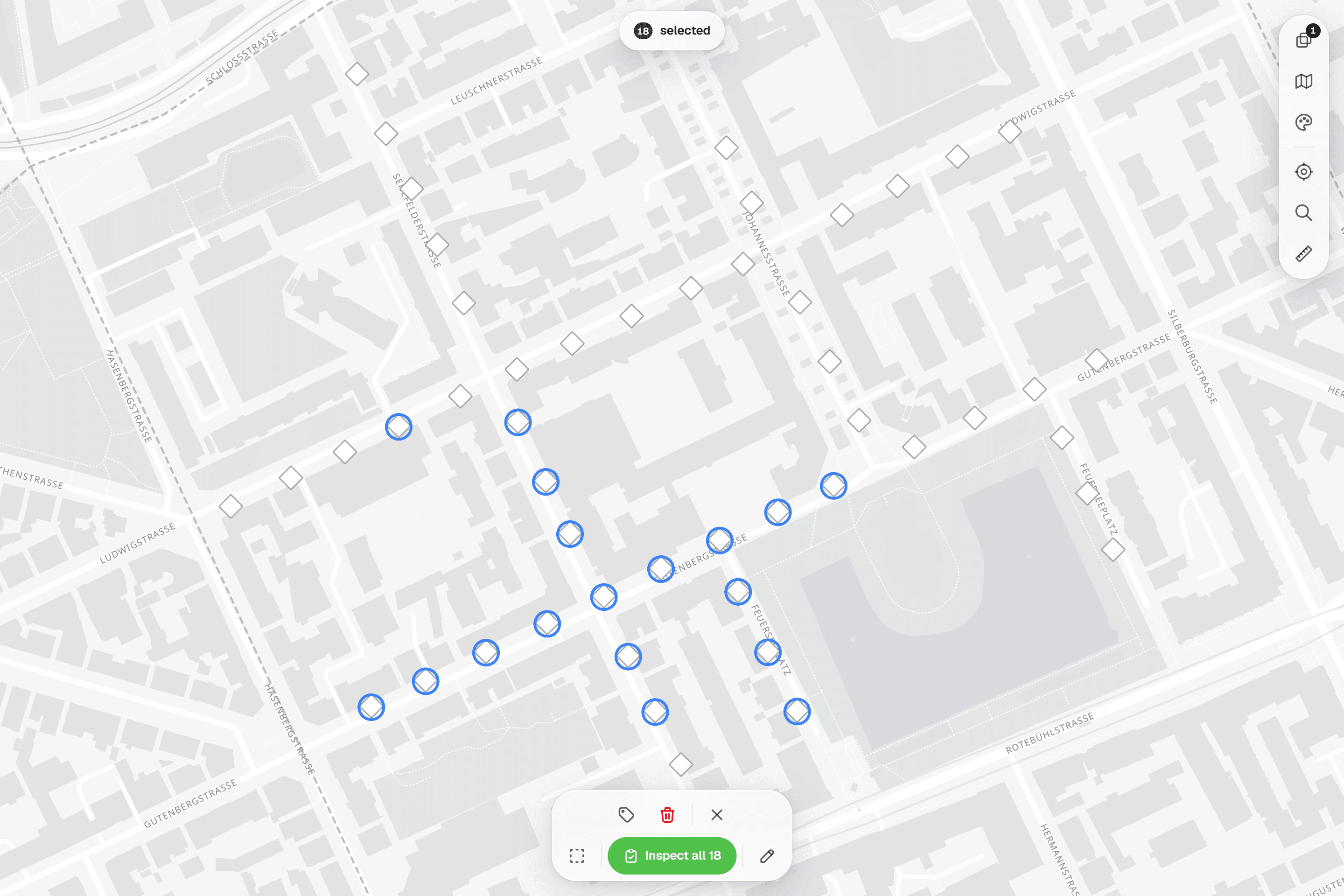
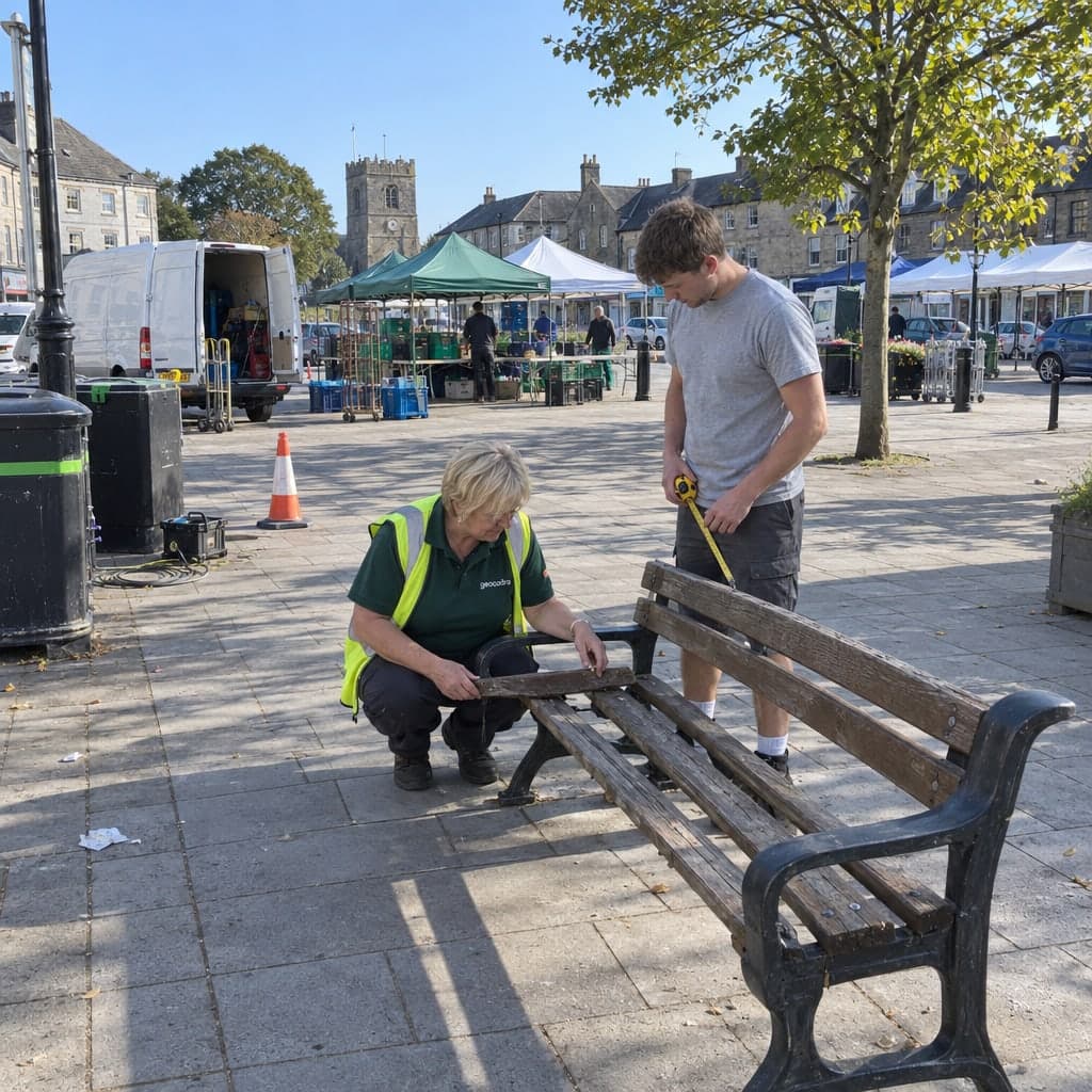
Geocadra vs paper forms
The same checklist on a phone: no re-typing at the office, photos on the record, the report built from the data.
Read the comparisonUsing something else?
Tell us what your team works with today, and we compare it against one of your own rounds.
Ask us
At a glance
Field collection tools side by side
The rows every comparison answers. Each product's own page has the notes and sources behind its column.
| Feature | Geocadra | Fulcrum | ArcGIS Field Maps | Survey123 | QGIS | Mergin Maps |
|---|---|---|---|---|---|---|
| A separate workspace per client | Yes | Partly | Partly | Partly | Partly | Partly |
| Free logins for your clients | Yes | No | No | No | No | Yes |
| Your client's DXF or DWG on the map | Yes | No | Desktop only | No | Yes | Desktop only |
| PDF reports built from the data | Yes | Yes | Partly | Yes | Partly | Desktop only |
| CAD drawing (DXF) export | Pro and up | No | Desktop only | No | Yes | Desktop only |
| Every inspection kept, with who and when | Yes | Yes | Partly | Partly | By hand | Partly |
| Mobile apps | iOS and Android | iOS and Android | iOS and Android | iOS and Android | Separate app | iOS and Android |
| Data stored in the EU | Yes | Yes | Partly | Partly | – | Yes |
How we compare
Checked against public pages, dated
Every competitor column is checked against that vendor's public pricing and documentation, and the page says on which date.
Where a tool is the better choice, the page says so. Prices are list prices as published; your quote may differ. If something here is out of date, tell us and we correct it. For the full picture of what Geocadra does, see all features and pricing.
Questions
Questions about choosing a tool
Which field data collection tool is built for contractors with several clients?
Geocadra is organised that way: your team works in one workspace and each client is an organization with its own layers, projects, logo and viewers. Fulcrum, ArcGIS and Mergin Maps can separate clients too: with groups or permissions inside one organization, or with a separate organization or workspace per client, each with its own subscription. See multi-client workspaces.
Can I use Geocadra together with ArcGIS or QGIS?
Yes. Geocadra reads GeoPackage, Shapefile, GeoJSON, KML, CSV and DXF or DWG, and exports GeoPackage, Shapefile, GeoJSON, CSV, Excel and DXF. Many teams collect in Geocadra and keep ArcGIS or QGIS for analysis and map production.
Which tools work with CAD drawings?
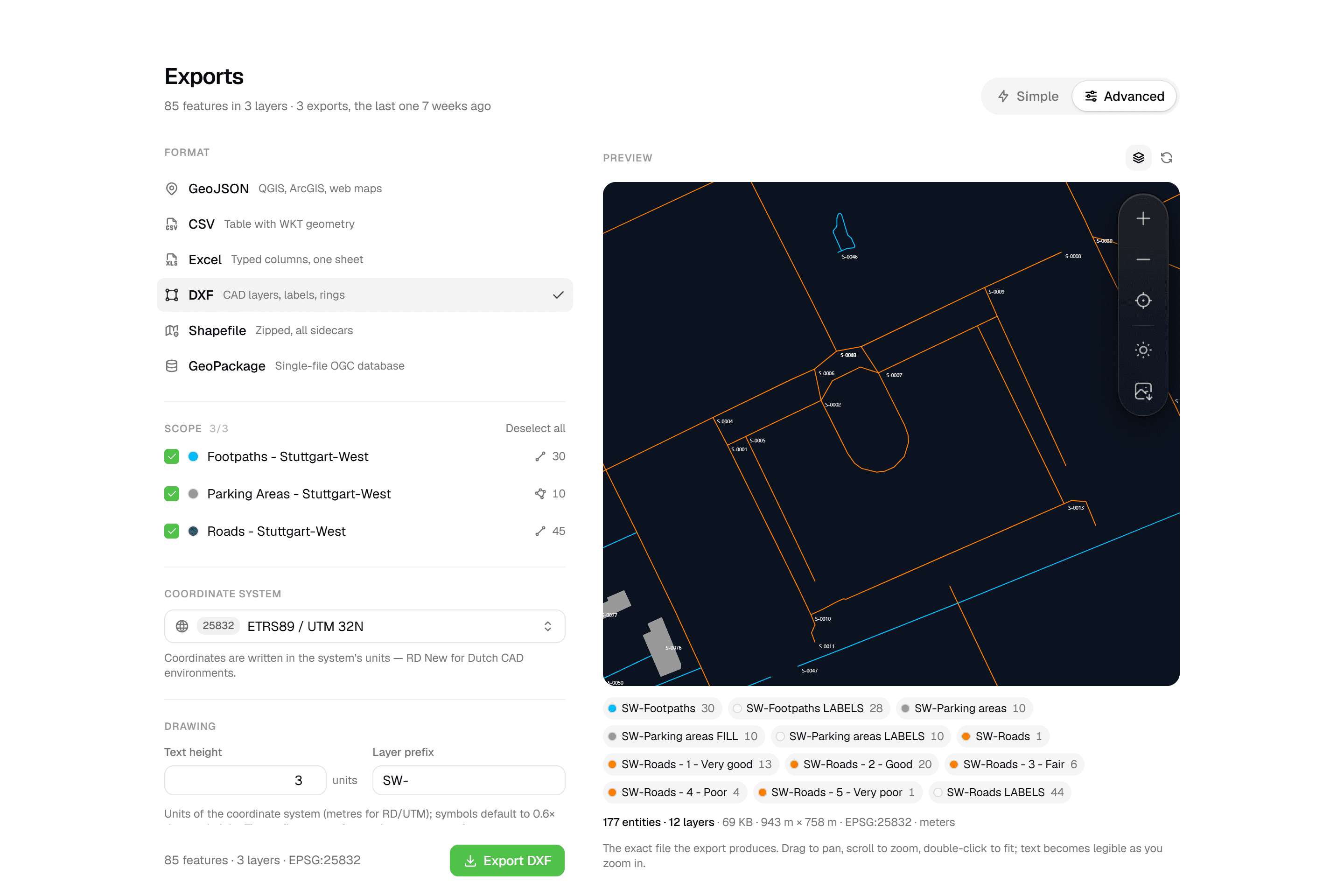
Geocadra puts your client's DXF or DWG on the map as a reference you can snap to, and exports a layered DXF with labels, rings and fills. In ArcGIS and QGIS that work happens on the desktop; Fulcrum and Survey123 do not export DXF.
How do you keep these comparisons fair?
Every competitor column cites the vendor's public pricing and documentation and carries the date it was checked. Each page also says who should choose the other tool. If a fact is wrong or out of date, tell us and we correct it.
Compare it on your own round
Import the layer you inspect next, build its form and run part of the round during the 14-day trial. No credit card needed.
No credit card requiredFree trial included