Live demo
See Geocadra in action
A personal walkthrough of Geocadra, from importing your data to the reports and drawings you hand your client, and the next round on the same layer.
- 30-minute live demo
- Customized to your industry
- Q&A with a product expert
- See real use cases
Free of charge, no obligation.
What we'll cover
Your data on the map, live, in thirty minutes.
Not a slide deck. We open a project, import a file, inspect a few assets and produce the deliverable, on your use case if you bring one.
 01
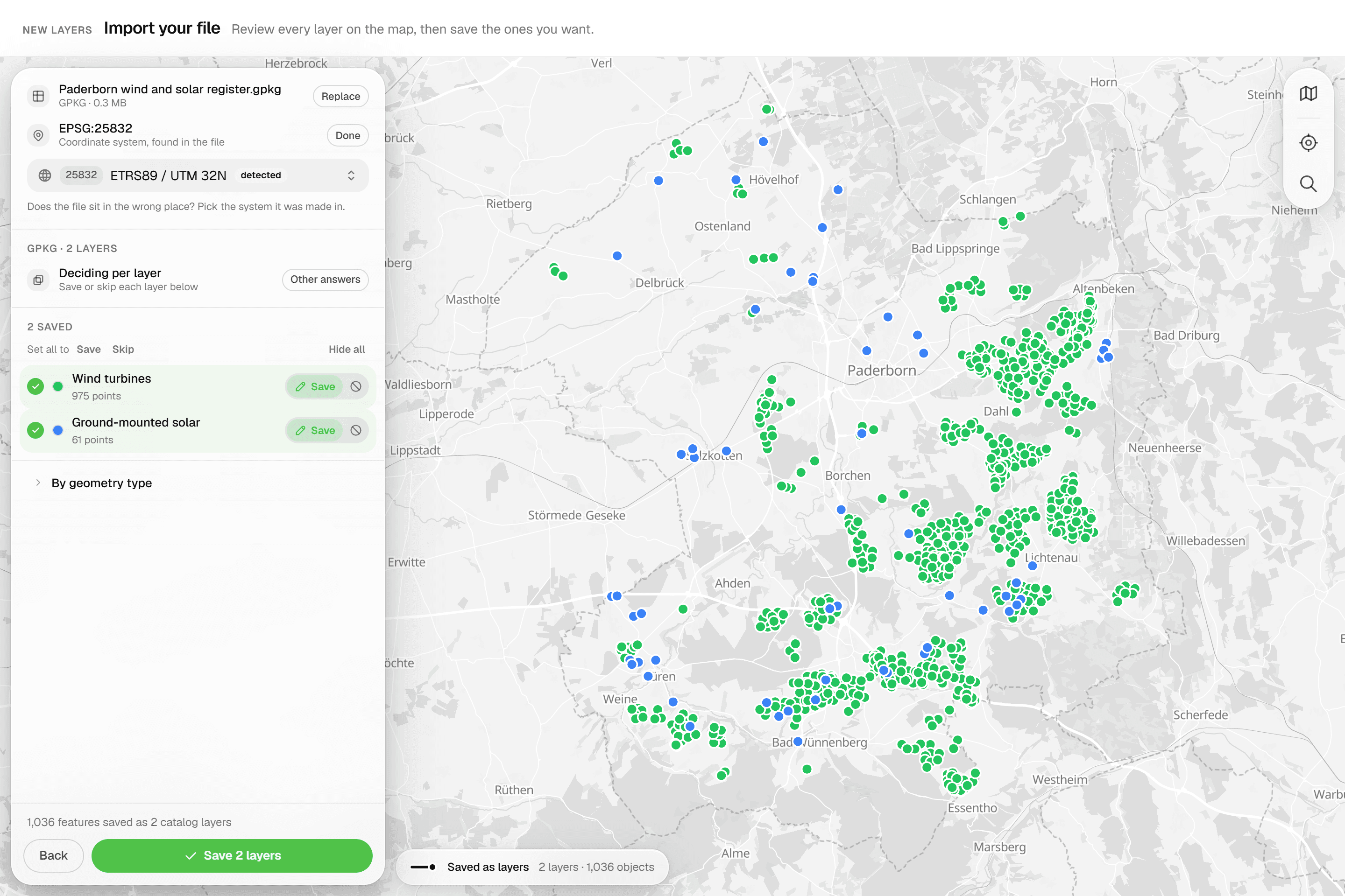
01Bring your data
Upload a GeoPackage, zipped Shapefile, DXF/DWG, GeoJSON or CSV file, or draw directly on the map. Your client's trees, poles, pipes and plots are on the map in minutes.
 02
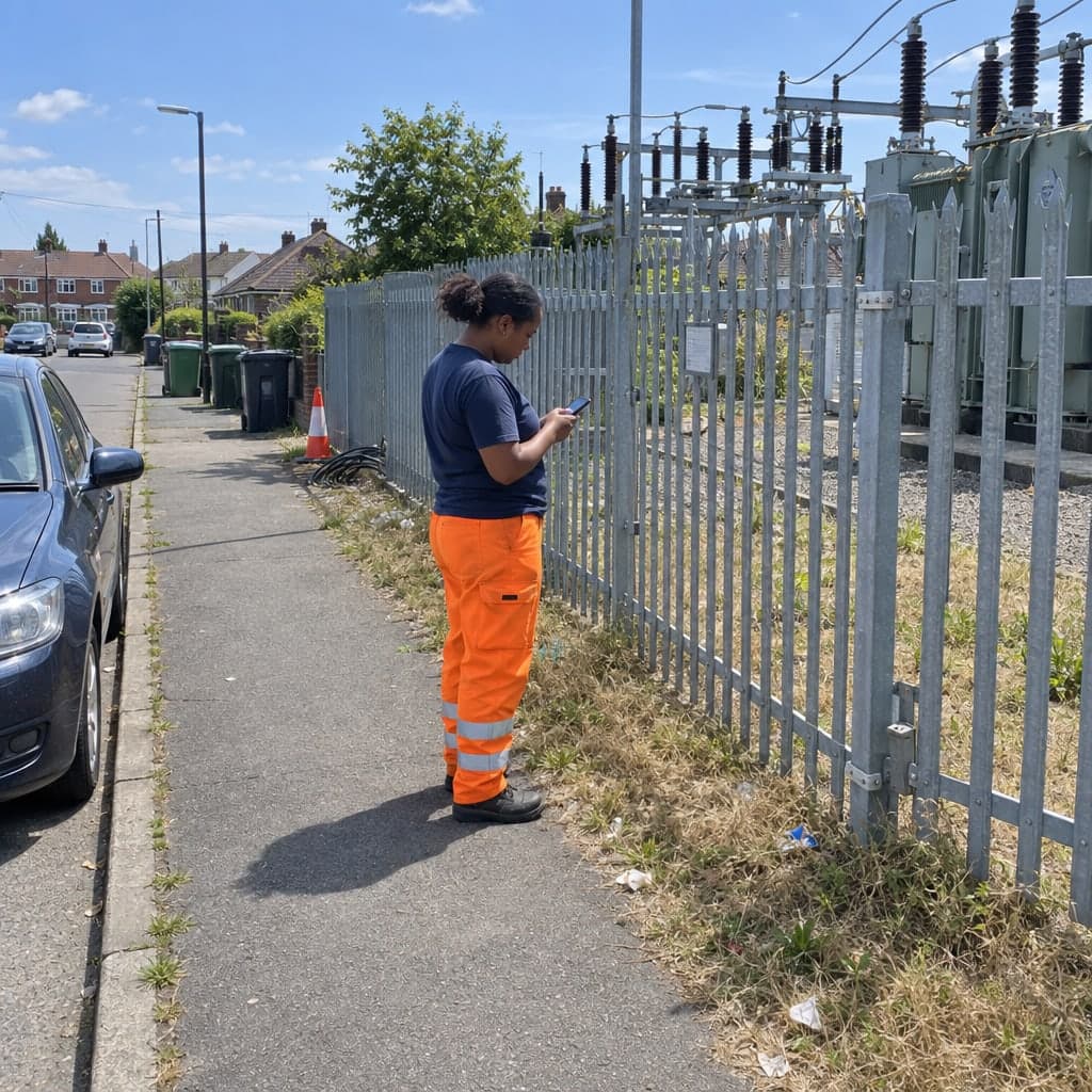
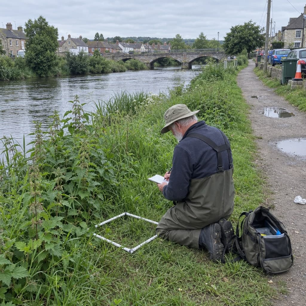
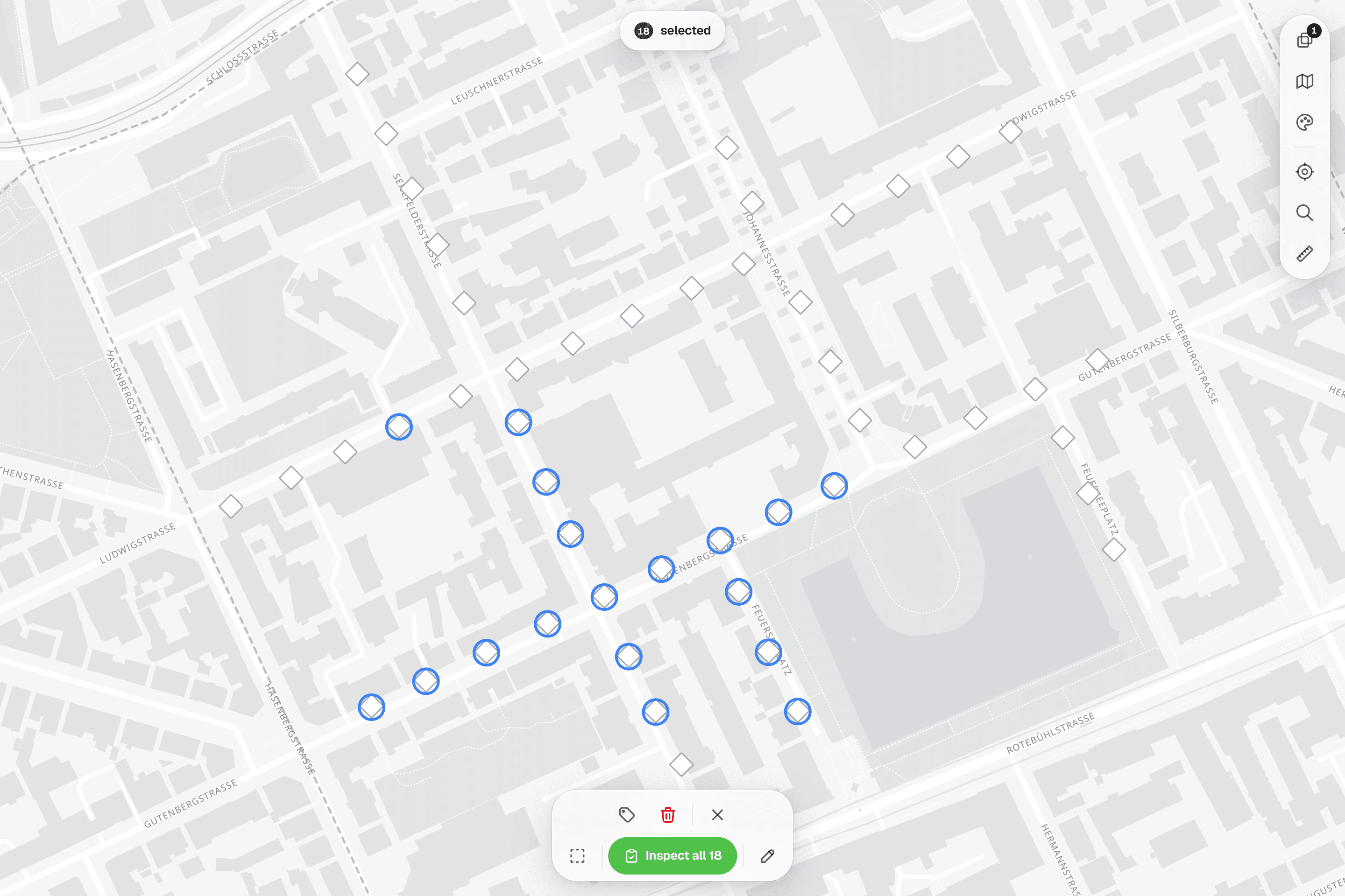
02Inspect in the field
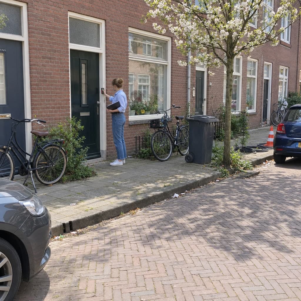
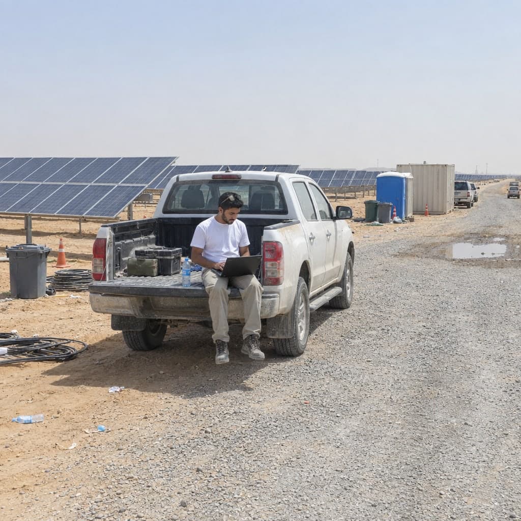
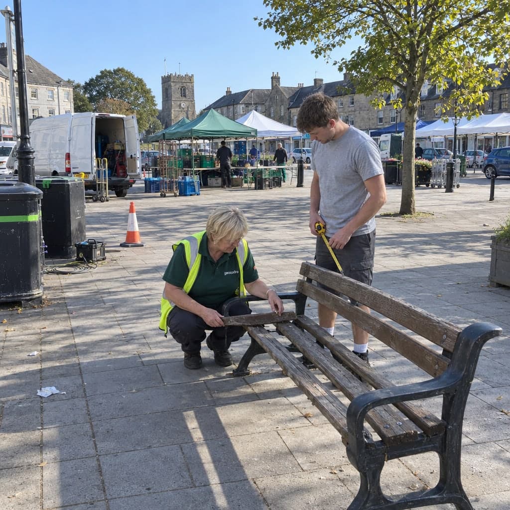
Structured forms per feature with required fields, computed values, photos and signatures. Select up to 100 features and inspect them one by one, or apply the same values to all.
 03
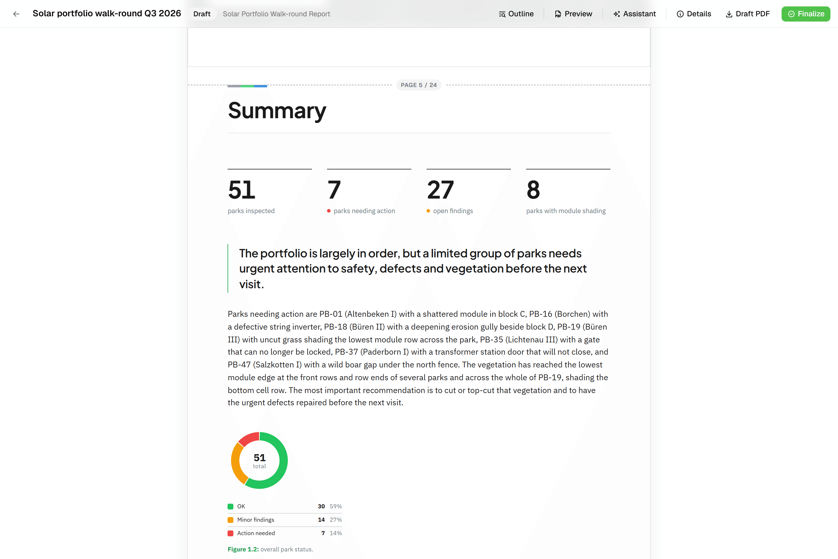
03Deliver to your client
Give your client viewer access so they follow along live, with no license on their end. Finalize a PDF report, or export Excel, GeoPackage or a layered DXF for CAD. When the next round comes, start a new project on the same layer and every earlier inspection travels with it.
 04
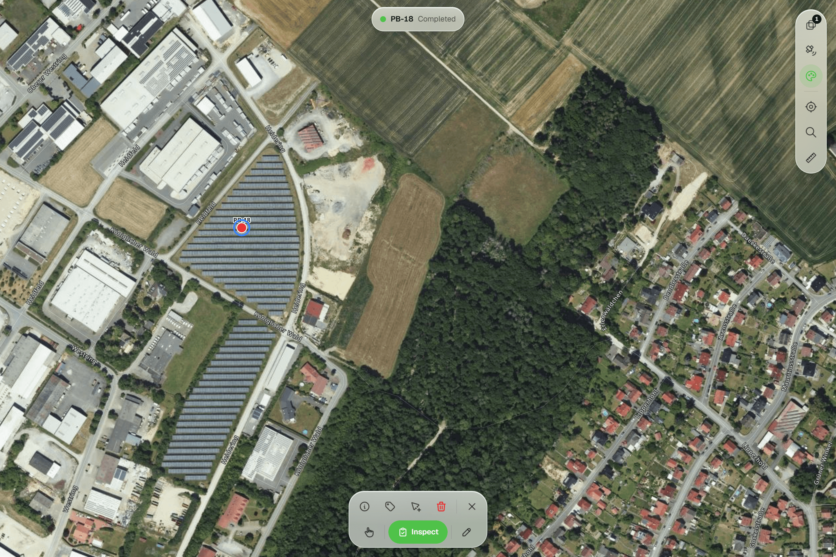
04Run the next round
Start a new project on the same layer and every earlier inspection travels with it, so year two starts with year one on record.
Come prepared
Bring something real and we use it.
A file
A DXF, Shapefile, GeoPackage, GeoJSON or CSV export. We put it on the map during the call.
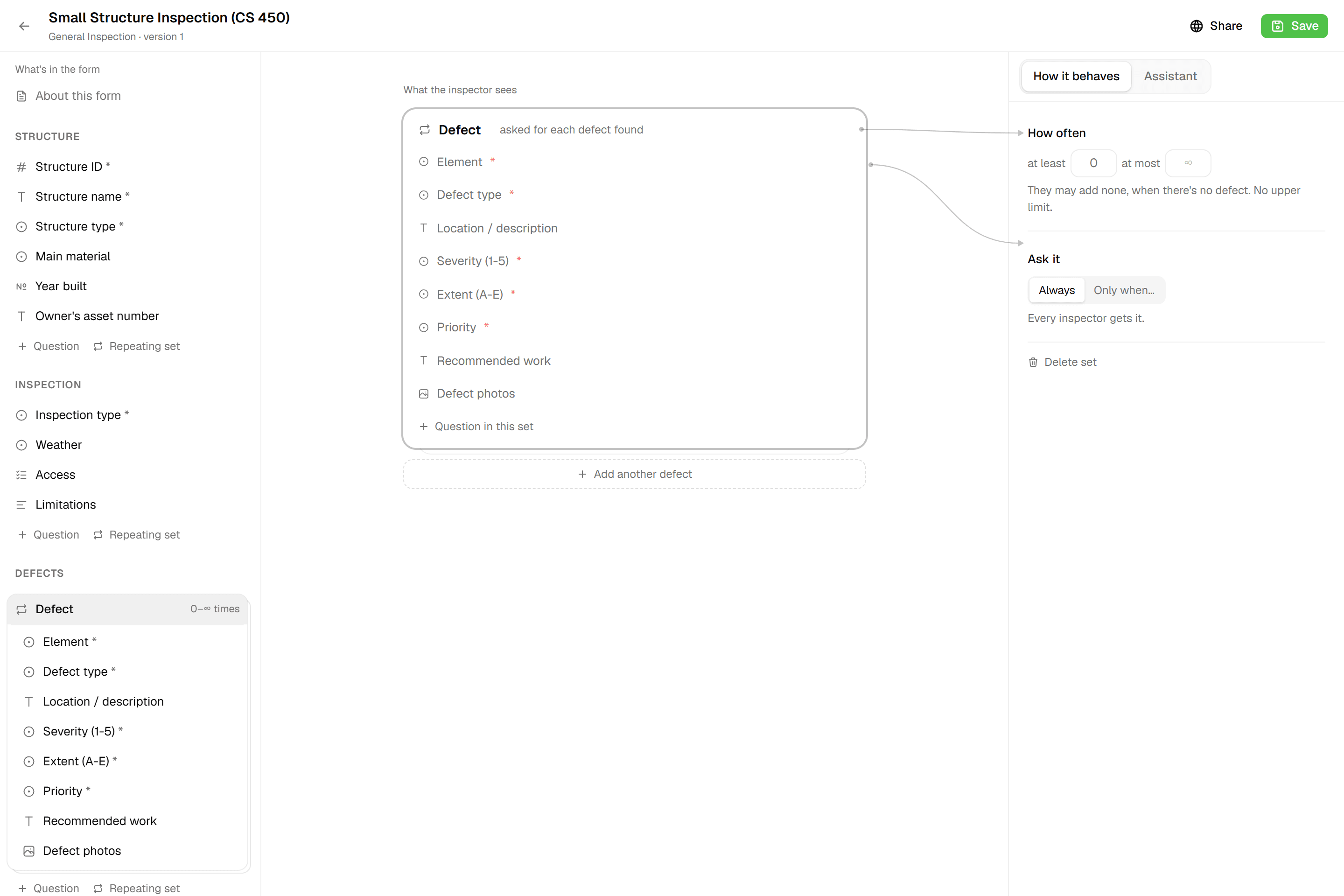
A form
One of your inspection forms, on paper or as a PDF. We rebuild it as a Geocadra form while you watch.
A deliverable
An example of what you hand a client today. We show what the same result looks like from Geocadra.
Prefer to write?
Two addresses, read by people.
Sales for pricing, plans and enterprise questions; support for your account, imports and forms. No ticket queue, no chatbot.
- 01Sales & partnershipsQuestions about pricing, custom plans, or enterprise deployments? Let's talk.sales@geocadra.com
- 02Technical supportNeed help with your account, data imports, or form setup? We're here.support@geocadra.com
- <24h
- Response time
- 100%
- EU data storage
- 01
A reply from a person
Usually within a few hours on weekdays, from someone who works on the product.
- 02
A walkthrough on your data
Ask for one and we open your file on the map in a thirty-minute call.
- 03
An account you set up yourself
The free tier needs no card and has no time limit; support is included.
Before you book
Who is the demo for?
Anyone who runs or commissions field inspections: contractors, consultants, asset owners and the people who receive their reports. Bring a colleague if you like; the invite works for several people.
What does it cost?
Nothing. There is no obligation and no follow-up sales sequence. You leave with a free account if you want one.
Can we use our own data?
Yes, and it makes the demo far more useful. Send a file beforehand or share your screen; either way it stays yours and is deleted afterwards on request.
What happens afterwards?
You get a written summary of what we showed, links to the relevant feature pages and, if you asked for one, a trial project set up with your data.
Prefer to start on your own?
Create a free account and put your first project on the map today. No card, no time limit on the free tier.
No credit card requiredFree trial included