
Industries
Built for teams who work outside.
Map-first inspections with structured forms, photos and a full history per asset, exported as Excel, GIS formats and CAD drawings your clients can open.
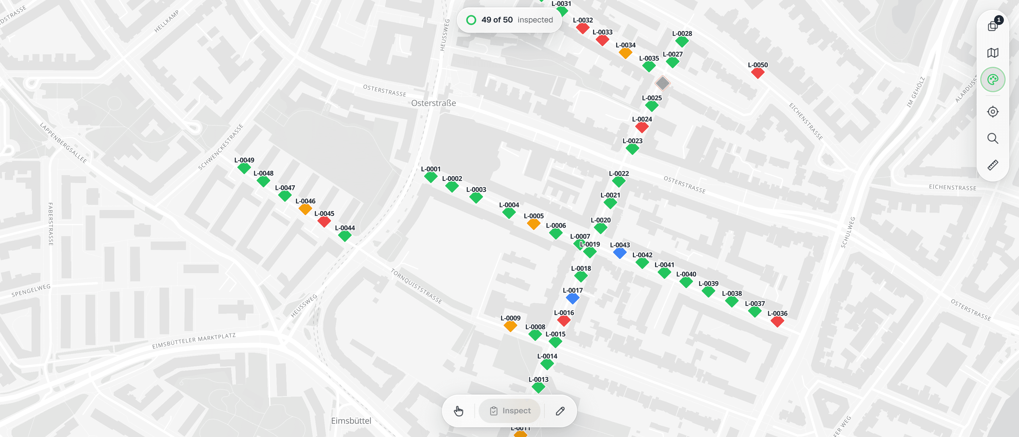
Utilities & Public Lighting
Recurring rounds on lighting columns, hydrants, valves and manholes, on a register you keep
Learn more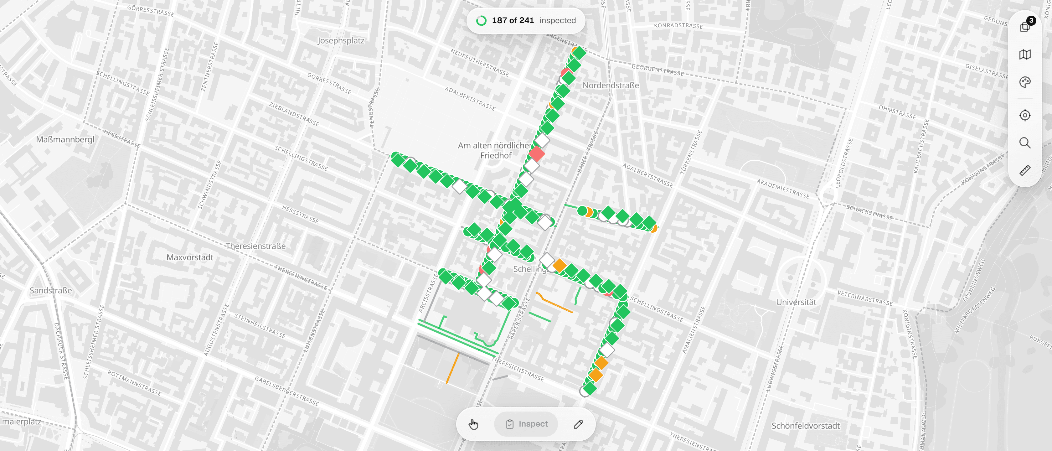
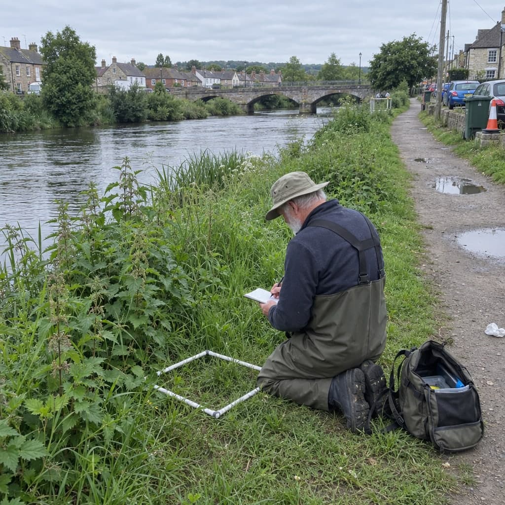
Trees, Habitats & Ecology
Recurring tree checks, habitat mapping and compensation monitoring, on a register you keep
Learn more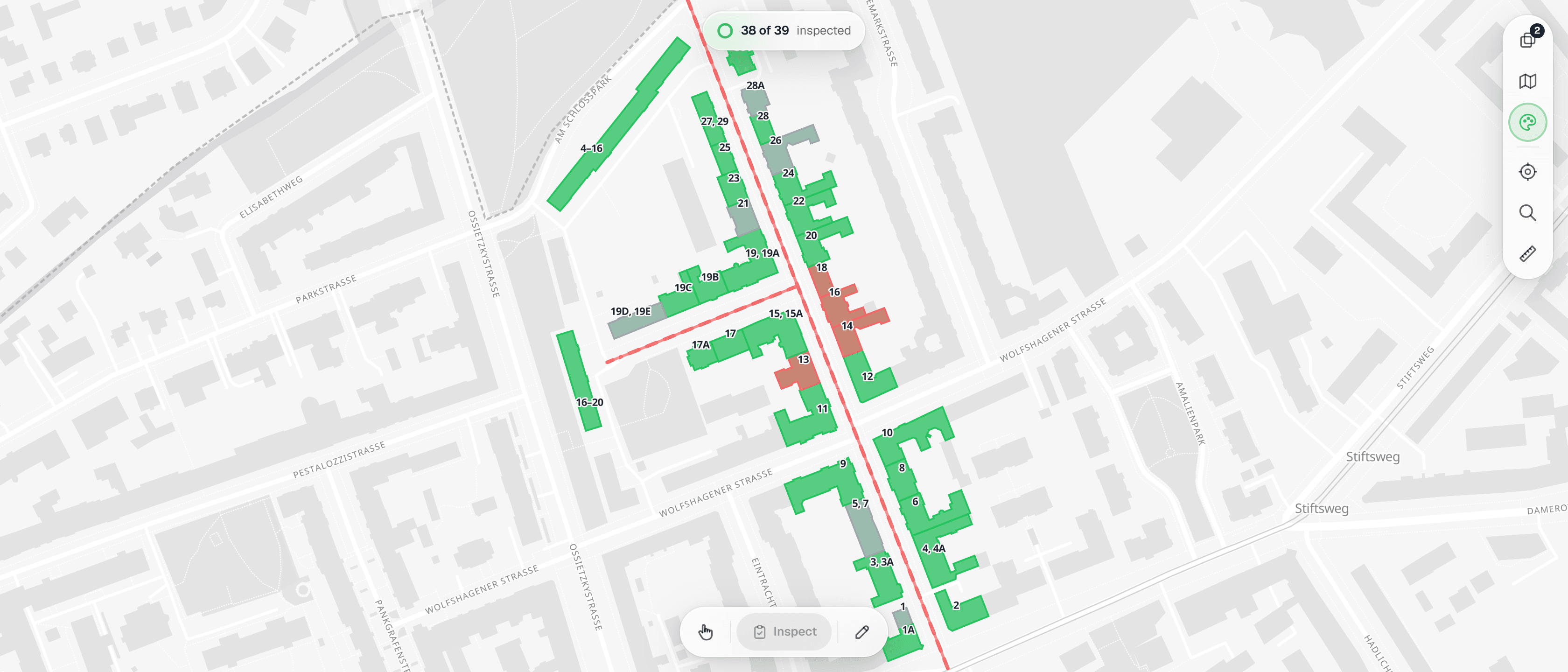
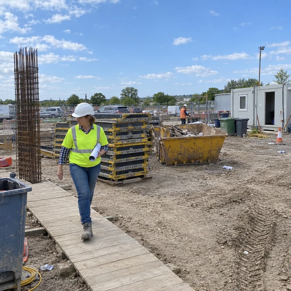
Construction & Civil
Defect lists, pre-construction condition records and site diaries kept as one history per building or section, from the first survey to the acceptance.
Learn more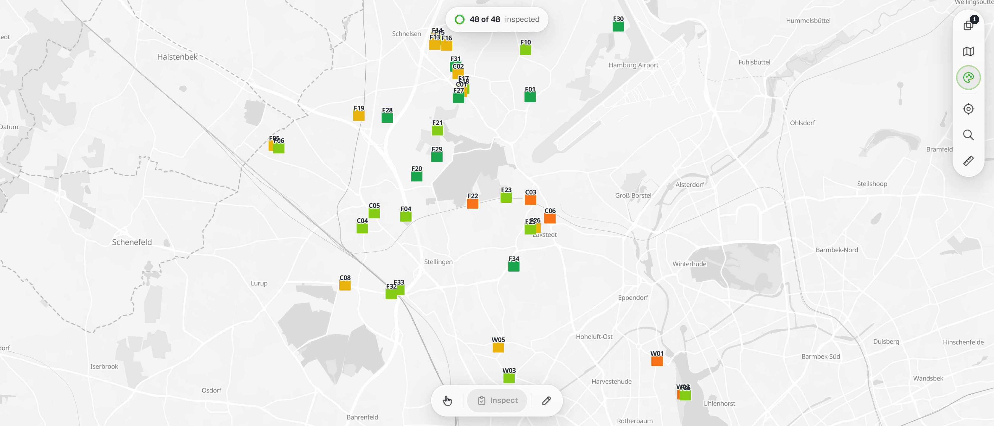
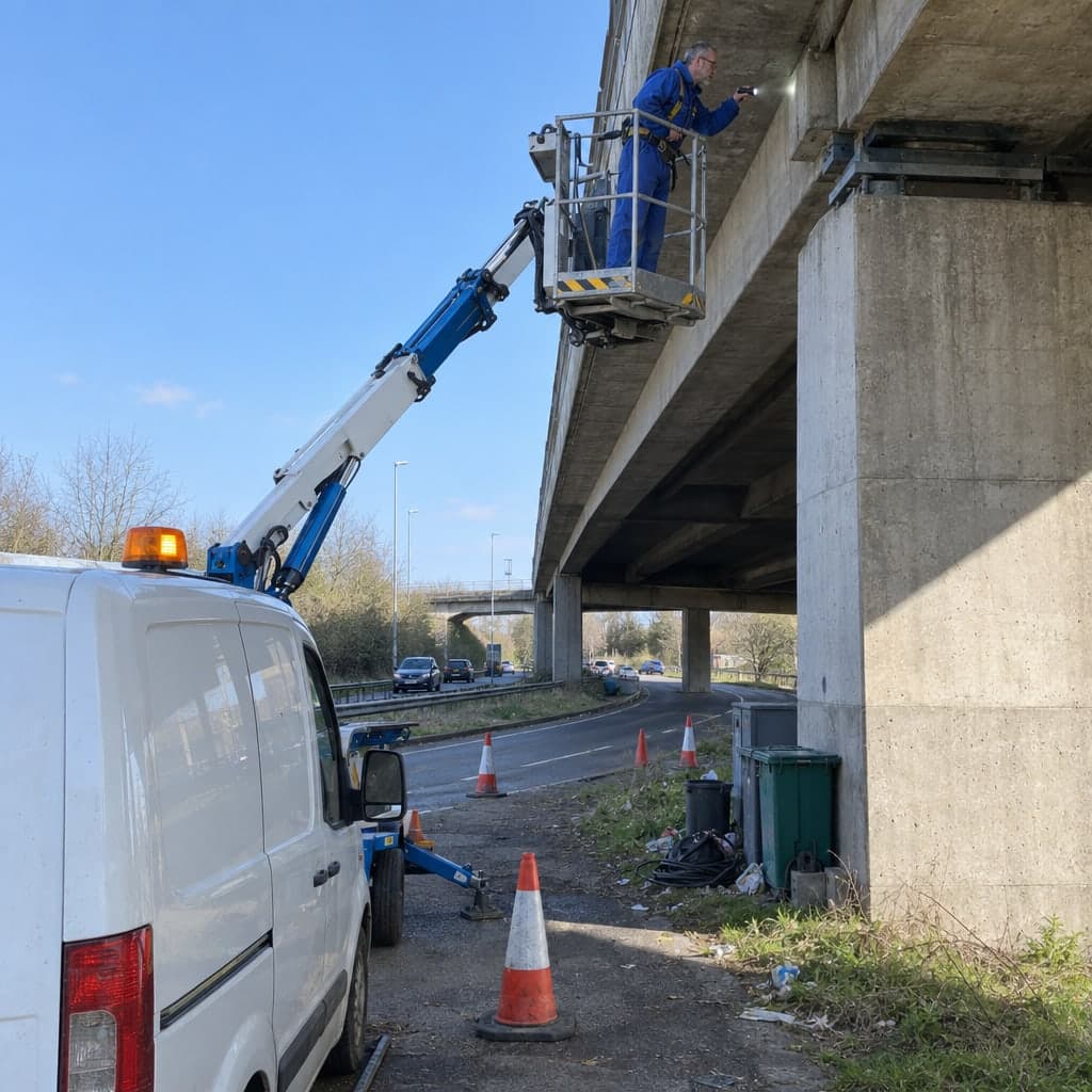
Bridges, Roads & Structures
Main and routine inspections of bridges, walls, roads and signs, on a structure register you keep
Learn more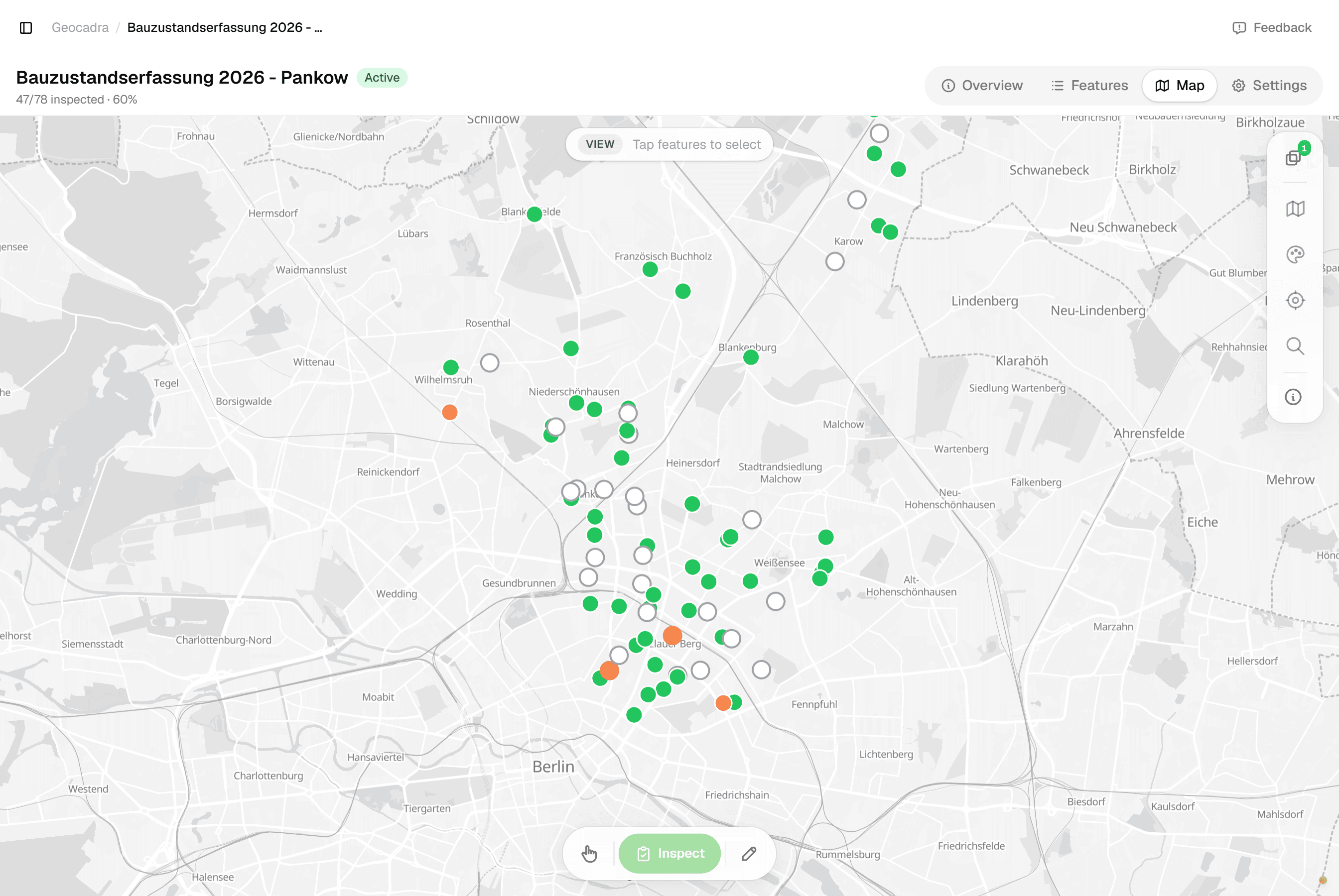
Buildings & Facilities
Condition assessments, roof checks and operator duties kept as one history per building, from the component grade to the storm-day photo.
Learn more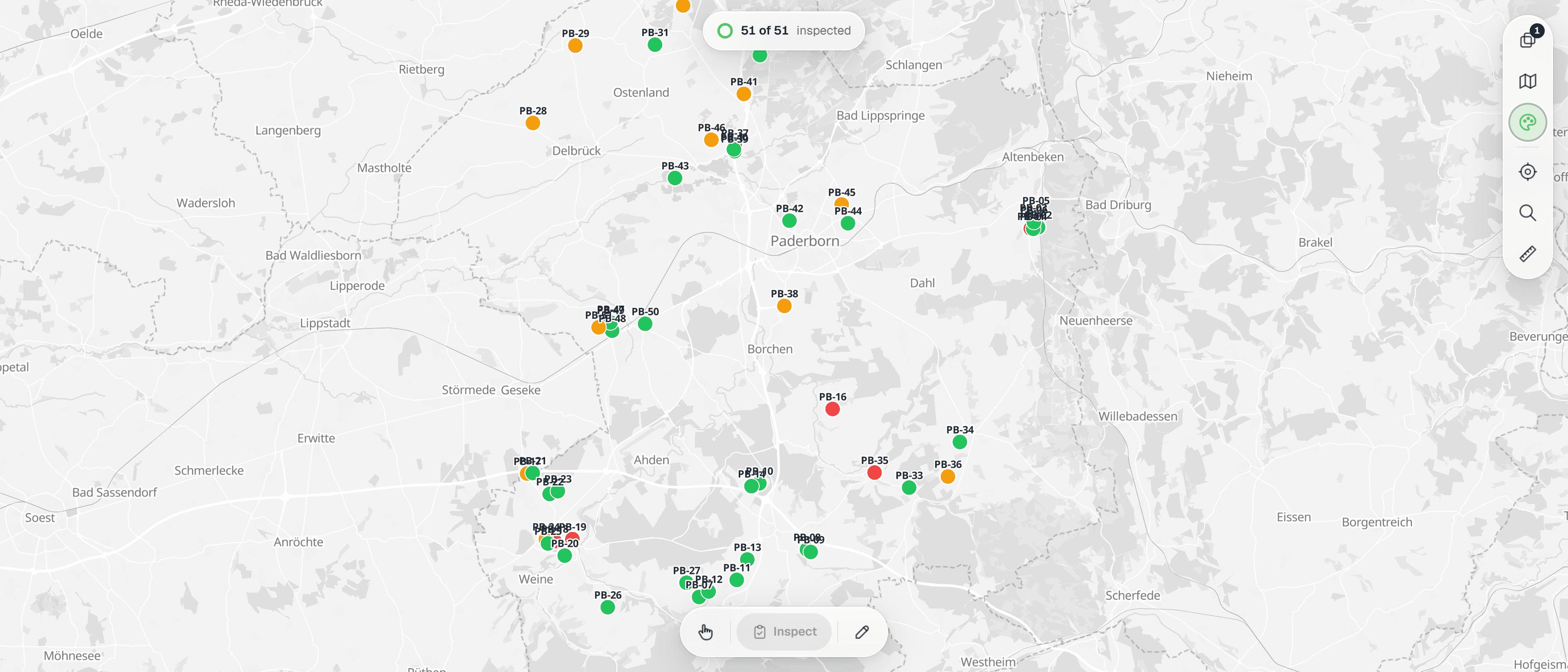
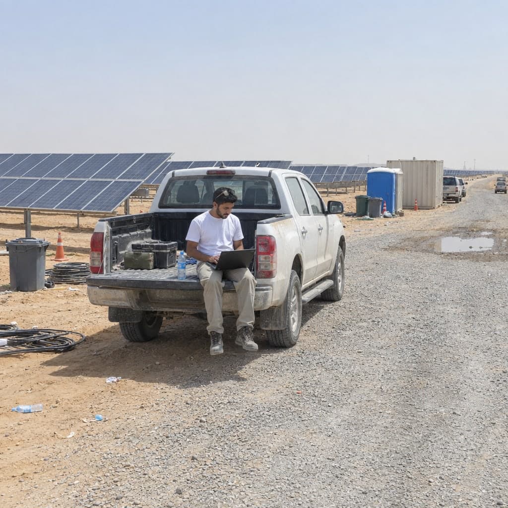
Wind & Solar Operations
Periodic turbine inspections, PV park walk-rounds and permit evidence kept as one history per asset, from the foundation crack to the fence segment.
Learn more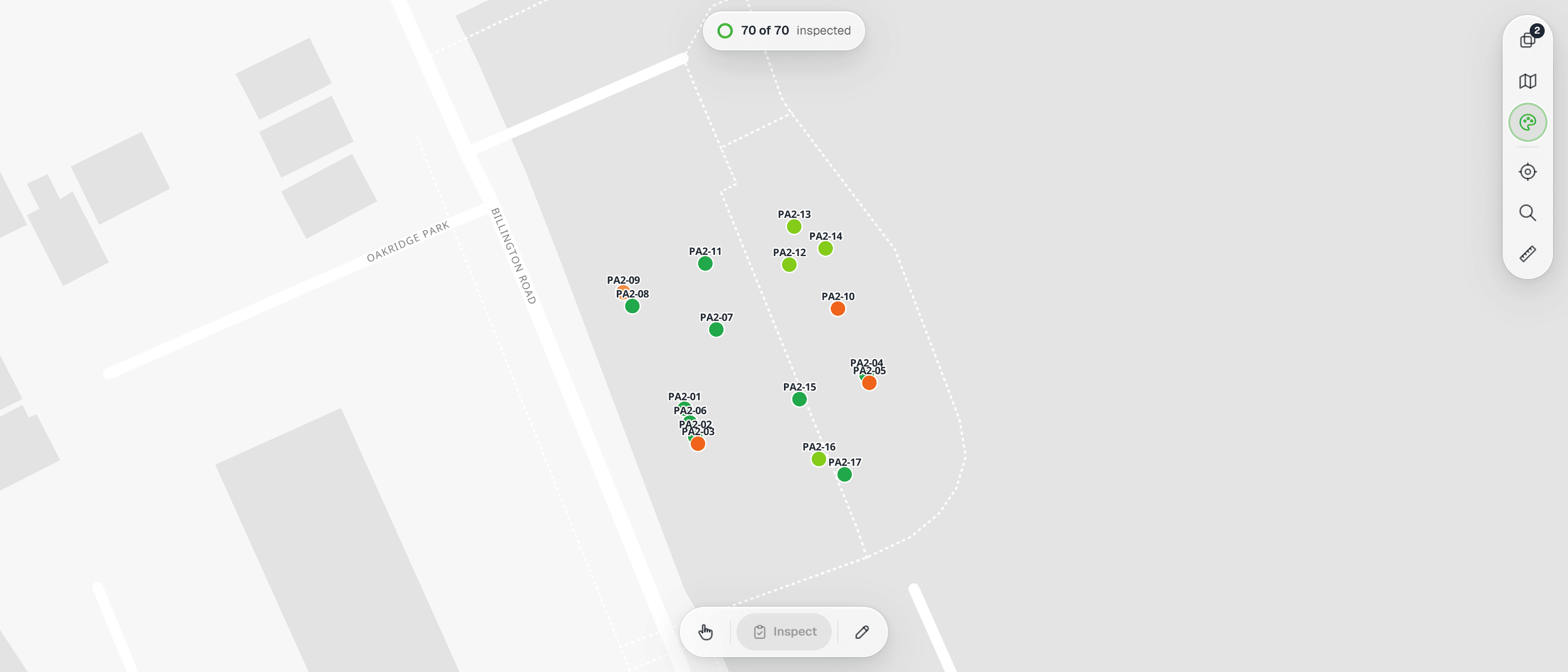
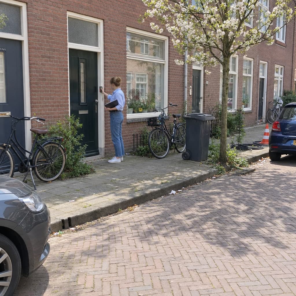
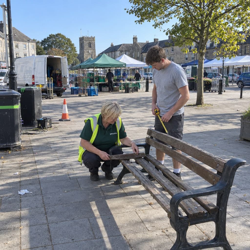
Municipalities & Public Space
Playground, cemetery, green-space and street checks kept as one history per site, from the weekly walk-round to the annual expert inspection.
Learn more
Don't see your industry?
Geocadra works for any field inspection workflow. Get in touch to discuss your specific needs.
Contact UsWhat every industry gets
Different forms, the same platform underneath.
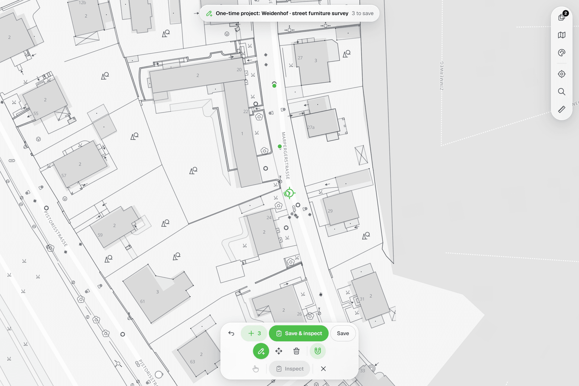
01Assets on the map
Points, lines and polygons over street maps, aerials and your own CAD underlays, placed with a crosshair that snaps to the drawing.
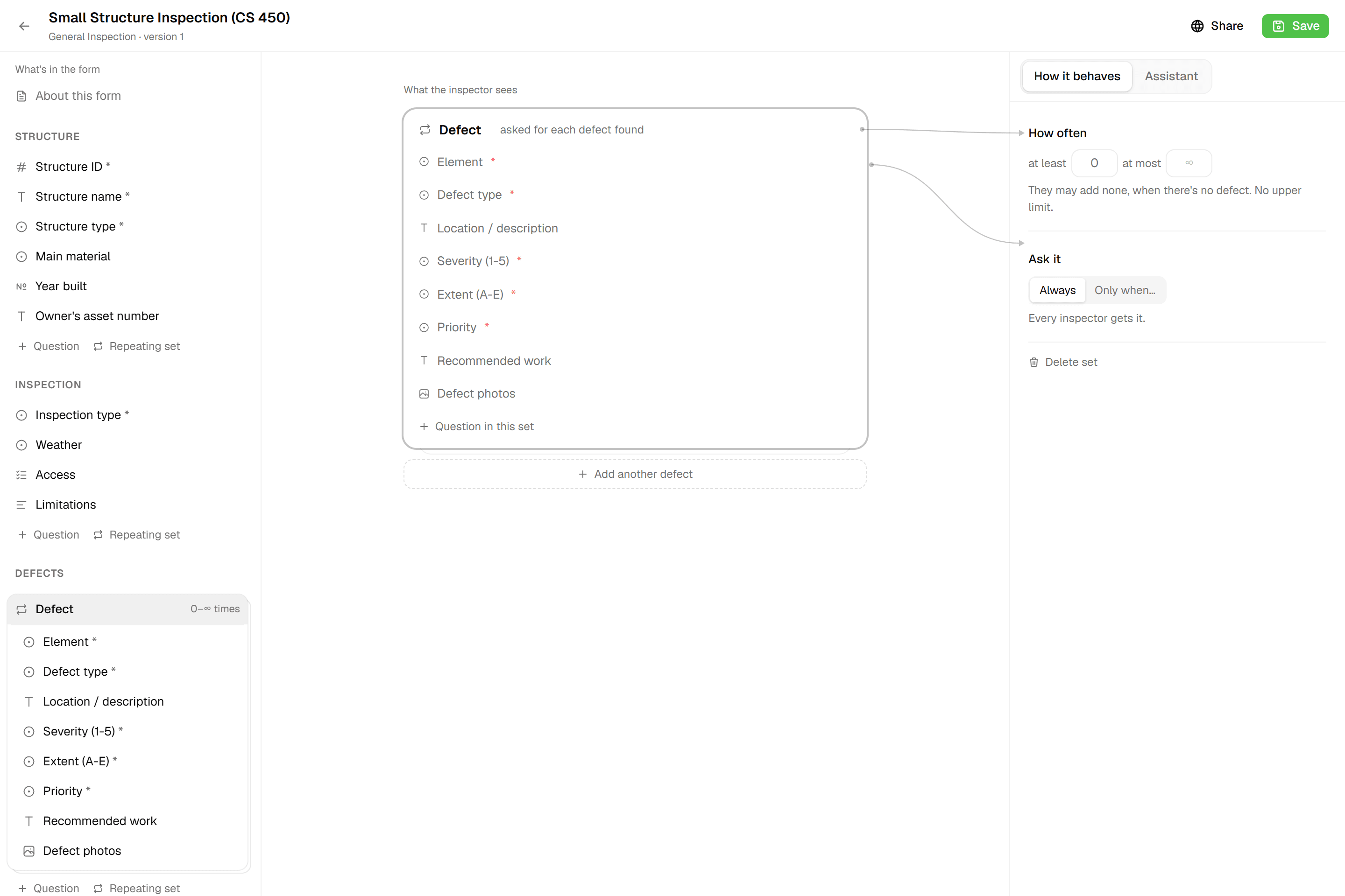
02Forms per layer
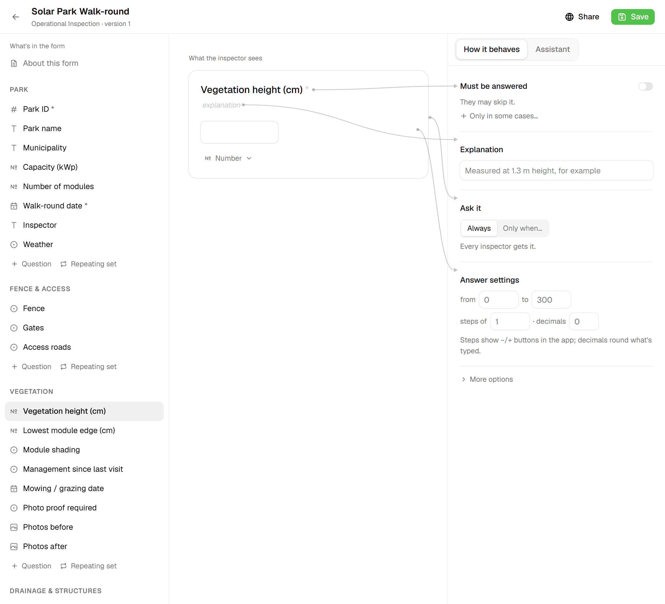
Structured fields, photos, computed values and required checks, versioned, so running projects never change underneath you.
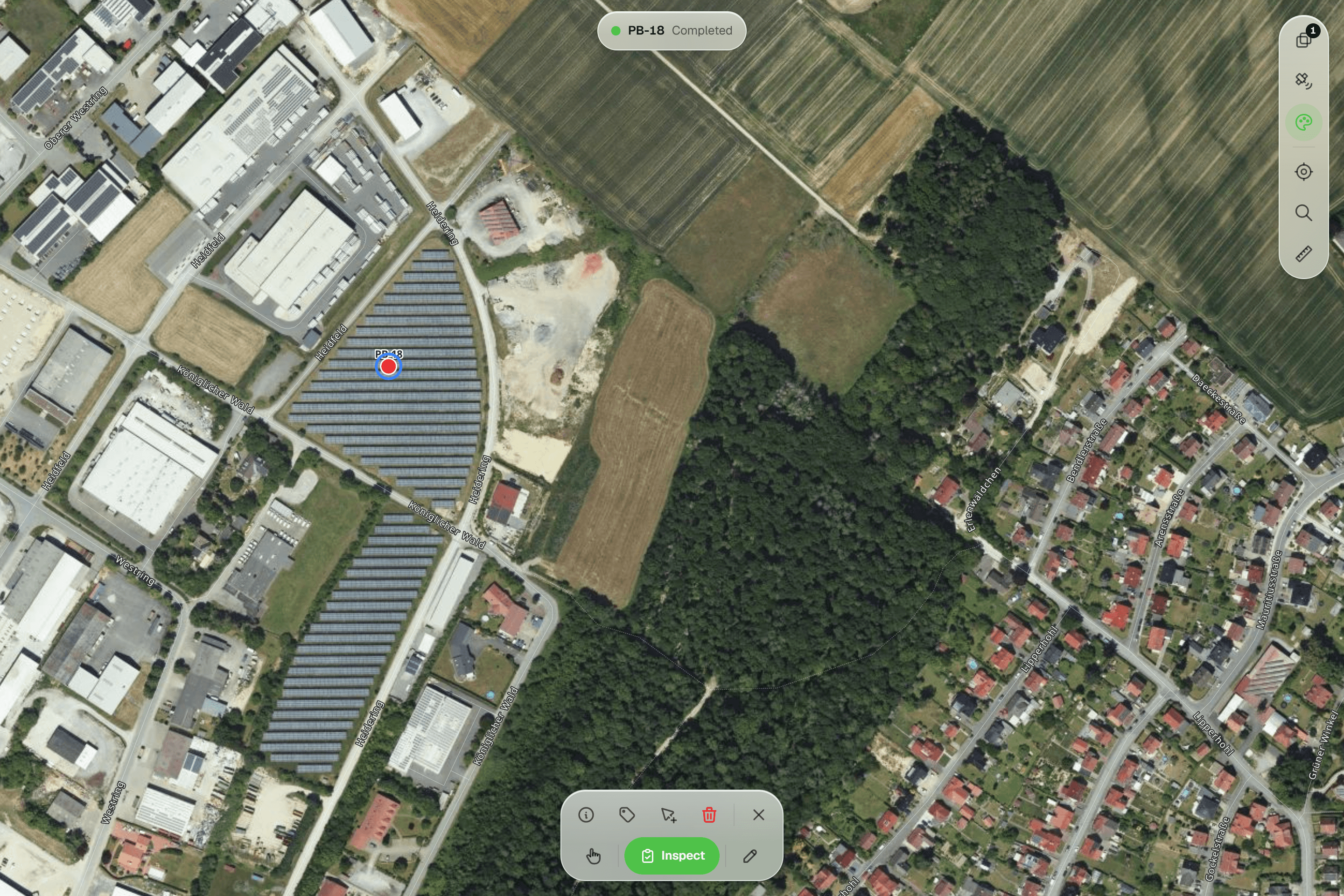
03Every round on record
Repeat inspections append to the asset with who and when. Nothing is overwritten.
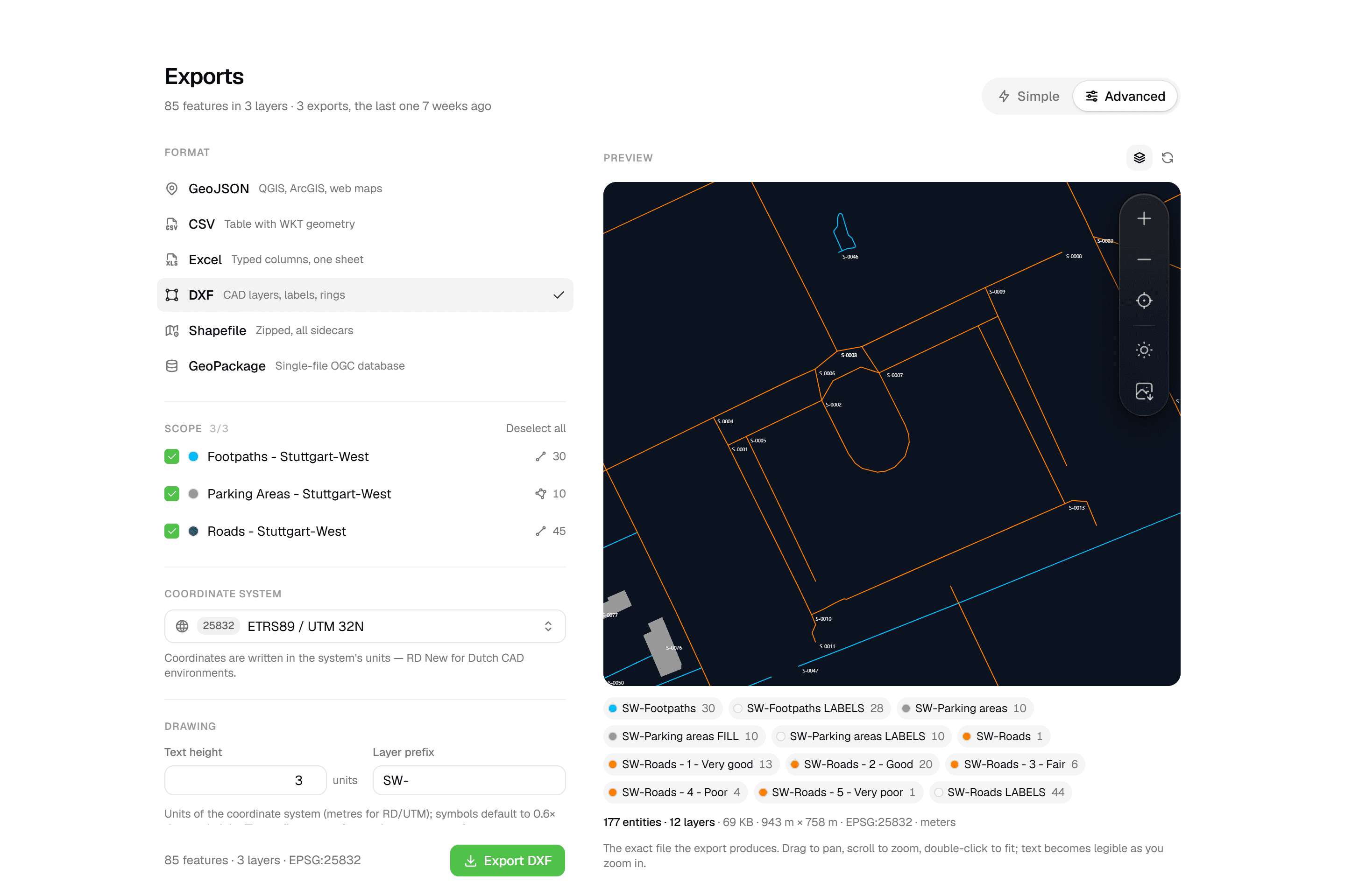
04Deliverables clients open
Excel, PDF reports and layered DXF from the same data, and free viewer access for the client.
Standards
71 inspection standards, each mapped to a form.
From BS 5837 to DIN 1076 and NEN 2767: every standards page explains what the standard asks for and how it records in Geocadra.
Browse the standards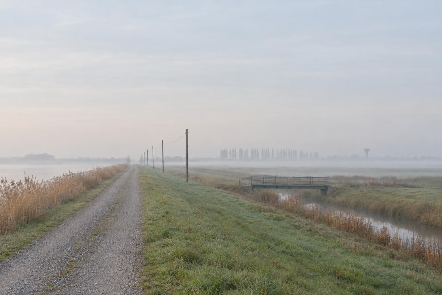
Ready to get your field data on the map?
Stop fighting your tools. Set up a project, capture in the field, and hand your client the result from the same workspace, this round and every round after.
No credit card requiredFree trial included